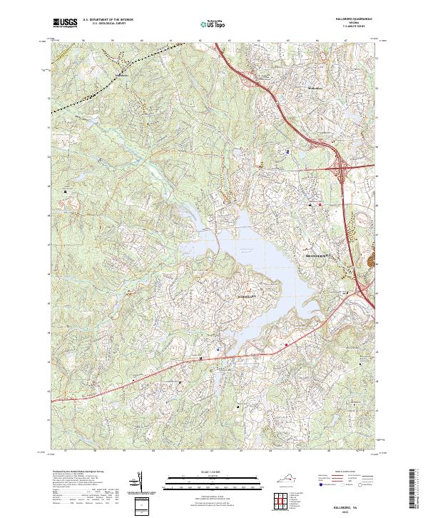
2022 Map of Hallsboro
USGS Topo · Published 2022About this map
Swift Creek Reservoir dominates the central landscape of this western Chesterfield County quadrangle, where modern suburban development meets older rural intersections. The transition between the historic coal-mining community of Midlothian and the planned residential community of Woodlake is evident, anchored by a network of contemporary park systems like the Swift Creek Linear Park Trl. Local genealogy and land use patterns are preserved through numerous family and community burial grounds, including Mount Hermon Cem, Chesterfield Cem, and Lester Cem. The educational presence of the Brightpoint Community College Midlothian Campus sits north of the reservoir, while the western edge is defined by the boundary between Powhatan and Chesterfield counties along W Co Line Rd. The map tracks several watercourses feeding the reservoir, such as Tomahawk Cr and Horsepen Cr, illustrating the area's hydrology.
Find a feature on this map
43 named features on this map. Tap any name to fly to it.
Don’t see what you’re looking for? This feature index may not catch every label — zoom into the map to look around manually.
Map Details
Editions of this 2022 Hallsboro Map
This is the sole edition of this map. No revisions or reprints were ever made.
Other maps of this area

1890 · Goochland
USGS Topo · 1:125,000

1892 · Goochland
USGS Topo · 1:125,000

1897 · Amelia
USGS Topo · 1:125,000

1936 · Richmond West
USGS Topo · 1:24,000

1942 · Westhampton
USGS Topo · 1:31,680

1943 · Fine Creek Mills
USGS Topo · 1:31,680

1943 · Chesterfield
USGS Topo · 1:31,680

1943 · Goodes Bridge
USGS Topo · 1:31,680

1943 · Hallsboro
USGS Topo · 1:31,680

1943 · Beach
USGS Topo · 1:24,000