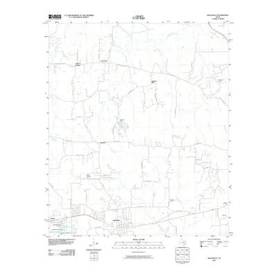
2010 Map of Hallsville
USGS Topo · Published 2010About this map
Hallsville serves as the central hub of this East Texas survey, where the regional road network converges south of the wooded drainage basins of Little Cypress Bayou. The landscape is defined by its small water bodies and rural communities, including Mulberry Springs, Carterville, and Walkers Mill. For genealogists and local historians, the sheet preserves the locations of several important community landmarks, such as Mount Pleasant Cemetery and Springhill Cemetery.
Find a feature on this map
62 named features on this map. Tap any name to fly to it.
Don’t see what you’re looking for? This feature index may not catch every label — zoom into the map to look around manually.
Map Details
Editions of this 2010 Hallsville Map
This is the sole edition of this map. No revisions or reprints were ever made.
Other maps of this area

1956 · Tyler
USGS Topo · 1:250,000

1958 · Darco
USGS Topo · 1:62,500

1958 · Tatum
USGS Topo · 1:62,500

1961 · Hallsville
USGS Topo · 1:24,000

1961 · Harleton
USGS Topo · 1:24,000

1962 · Marshall NW
USGS Topo · 1:24,000

1962 · Marshall West
USGS Topo · 1:24,000

1962 · Ashland
USGS Topo · 1:24,000

1962 · Longview Heights
USGS Topo · 1:24,000

1983 · Easton
USGS Topo · 1:24,000