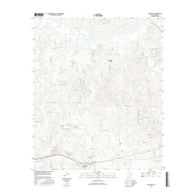
2016 Map of Hallsville
USGS Topo · Published 2016About this map
Hallsville anchors the southern portion of this Harrison County landscape, situated along the Union Pacific rail corridor. The town's layout is defined by its proximity to the tracks and the surrounding water features, including Highway Lake and Wards Creek. Moving north, the terrain transitions into a more rural pattern of timber and wetlands, dominated by the wide marshy expanse of Little Cypress Bayou and the prominent rise of Hickory Hill.
Find a feature on this map
116 named features on this map. Tap any name to fly to it.
Don’t see what you’re looking for? This feature index may not catch every label — zoom into the map to look around manually.
Map Details
Editions of this 2016 Hallsville Map
This is the sole edition of this map. No revisions or reprints were ever made.
Other maps of this area

1956 · Tyler
USGS Topo · 1:250,000

1958 · Darco
USGS Topo · 1:62,500

1958 · Tatum
USGS Topo · 1:62,500

1961 · Hallsville
USGS Topo · 1:24,000

1961 · Harleton
USGS Topo · 1:24,000

1962 · Marshall NW
USGS Topo · 1:24,000

1962 · Marshall West
USGS Topo · 1:24,000

1962 · Ashland
USGS Topo · 1:24,000

1962 · Longview Heights
USGS Topo · 1:24,000

1983 · Easton
USGS Topo · 1:24,000