2022 Map of Hallsville
USGS Topo · Published 2022About this map
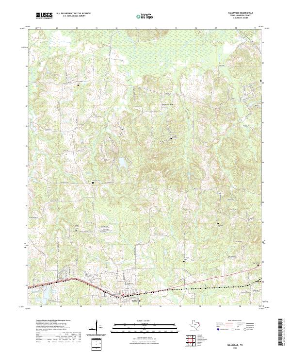
Hallsville serves as the primary hub on this Harrison County landscape, where the southern portion of the sheet is defined by the east-west corridor of the Texas and Pacific Railway and U.S. Highway 80. The northern reaches transition into the bottomlands of Little Cypress Bayou, a network of wetlands and creeks including Gum Cr and Moccasin Cr. This modern survey documents the persistent rural character of the region, anchored by numerous small cemeteries and historic sites like Walkers Mill and Hynson Springs.
Find a feature on this map
115 named features on this map. Tap any name to fly to it.
Don’t see what you’re looking for? This feature index may not catch every label — zoom into the map to look around manually.
Map Details
Editions of this 2022 Hallsville Map
This is the sole edition of this map. No revisions or reprints were ever made.