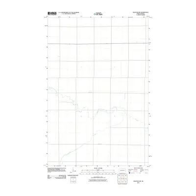
2011 Map of Halstad SW
USGS Topo · Published 2011About this map
The North Branch Elm River winds across this section of Traill County, showing the classic meandering drainage patterns characteristic of the Red River Valley. This agricultural landscape is defined by the confluence and steady eastern flow of the Elm River, which dictates the surrounding road network and land use. The map provides a clear look at the rural infrastructure in the early 21st century, anchored by the primary east-west corridors of County Hwy-3 and County Hwy-1. These arterial roads bisect the flat, fertile terrain, illustrating the grid-based development typical of North Dakota's prairie regions. The survey is a precise record of the physical geography of the river valley before further modernization or shifts in local water management occurred.
Find a feature on this map
4 named features on this map. Tap any name to fly to it.
Don’t see what you’re looking for? This feature index may not catch every label — zoom into the map to look around manually.
Map Details
Editions of this 2011 Halstad SW Map
This is the sole edition of this map. No revisions or reprints were ever made.
Other maps of this area

1918 · Kelso
USGS Topo · 1:62,500

1918 · Hendrum
USGS Topo · 1:62,500

1943 · Kelso
USGS Topo · 1:62,500

1952 · Grand Forks
USGS Topo · 1:250,000

1956 · Grand Forks
USGS Topo · 1:250,000

1963 · Shelly
USGS Topo · 1:24,000

1963 · Perley
USGS Topo · 1:24,000

1963 · Gardner
USGS Topo · 1:24,000

1963 · Halstad
USGS Topo · 1:24,000

1963 · Hillsboro
USGS Topo · 1:24,000