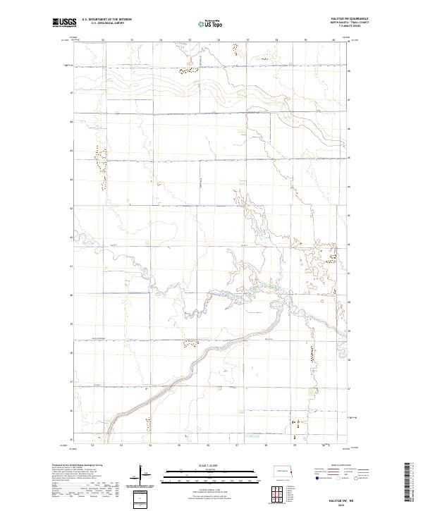
2024 Map of Halstad SW
USGS Topo · Published 2024About this map
Elm River meanders through the heart of this Traill County landscape, defining the local drainage patterns alongside its tributary, the North Branch Elm River. The territory is primarily organized by the Public Land Survey System, encompassing portions of T145N R50W, T145N R49W, T144N R50W, and T144N R49W. Infrastructure in this rural expanse is characterized by a straight grid of section-line roads, including Co Hwy 1 and 169th Ave SE, which facilitate travel between agricultural plots. A significant modern hydrologic feature, the Kelso Floodway, cuts across the western portion of the map, illustrating contemporary efforts to manage the water levels of the Red River Valley watershed. This 2024 survey documents the enduring agricultural geometry of eastern North Dakota, where the interplay of natural river bends and engineered flood controls shapes the land.
Find a feature on this map
11 named features on this map. Tap any name to fly to it.
Don’t see what you’re looking for? This feature index may not catch every label — zoom into the map to look around manually.
Map Details
Editions of this 2024 Halstad SW Map
This is the sole edition of this map. No revisions or reprints were ever made.
Other maps of this area

1918 · Kelso
USGS Topo · 1:62,500

1918 · Hendrum
USGS Topo · 1:62,500

1943 · Kelso
USGS Topo · 1:62,500

1952 · Grand Forks
USGS Topo · 1:250,000

1956 · Grand Forks
USGS Topo · 1:250,000

1963 · Shelly
USGS Topo · 1:24,000

1963 · Perley
USGS Topo · 1:24,000

1963 · Gardner
USGS Topo · 1:24,000

1963 · Halstad
USGS Topo · 1:24,000

1963 · Hillsboro
USGS Topo · 1:24,000