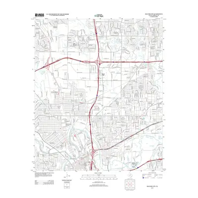
2012 Map of Haltom City
USGS Topo · Published 2012About this map
The Fort Worth Stockyards Historic District stands as a focal point in this 2012 study of the Tarrant County landscape, where the confluence of the Clear Fork Trinity River and W Fork Trinity River defines the urban geography. Extensive cemetery grounds, including Mt Olivet Cem, Oakwood Cem, and the specialized Hebrew Cem, provide a dense record of the city's early heritage near the historic center.
Find a feature on this map
30 named features on this map. Tap any name to fly to it.
Don’t see what you’re looking for? This feature index may not catch every label — zoom into the map to look around manually.
Map Details
Editions of this 2012 Haltom City Map
This is the sole edition of this map. No revisions or reprints were ever made.
Other maps of this area

1894 · Fort Worth
USGS Topo · 1:125,000

1931 · Grapevine
USGS Topo · 1:62,500

1954 · Dallas
USGS Topo · 1:250,000

1955 · Haltom City
USGS Topo · 1:24,000

1955 · Avondale
USGS Topo · 1:24,000

1955 · Keller
USGS Topo · 1:24,000

1955 · Lake Worth
USGS Topo · 1:24,000

1955 · Benbrook
USGS Topo · 1:24,000

1955 · Fort Worth
USGS Topo · 1:24,000

1955 · Haltom City
USGS Topo · 1:62,500