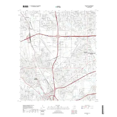
2019 Map of Haltom City
USGS Topo · Published 2019About this map
Mount Olivet Cem and Oakwood Cem stand as prominent landmarks in this densely developed corridor where the West Fork Trinity River and Clear Fork Trinity River converge. The landscape is defined by its complex transportation and utility infrastructure, ranging from the sprawling Fort Worth Meacham International Airport to the heavy rail lines like Bus 287 that service the industrial sectors of Saginaw and Blue Mound.
Find a feature on this map
222 named features on this map. Tap any name to fly to it.
Don’t see what you’re looking for? This feature index may not catch every label — zoom into the map to look around manually.
Map Details
Editions of this 2019 Haltom City Map
This is the sole edition of this map. No revisions or reprints were ever made.
Other maps of this area

1894 · Fort Worth
USGS Topo · 1:125,000

1931 · Grapevine
USGS Topo · 1:62,500

1954 · Dallas
USGS Topo · 1:250,000

1955 · Haltom City
USGS Topo · 1:24,000

1955 · Avondale
USGS Topo · 1:24,000

1955 · Keller
USGS Topo · 1:24,000

1955 · Lake Worth
USGS Topo · 1:24,000

1955 · Benbrook
USGS Topo · 1:24,000

1955 · Fort Worth
USGS Topo · 1:24,000

1955 · Haltom City
USGS Topo · 1:62,500