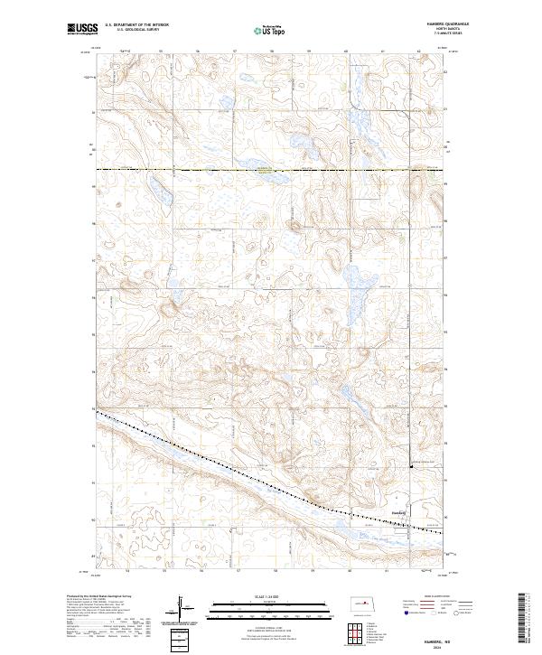
2024 Map of Hamberg
USGS Topo · Published 2024About this map
Hamberg serves as the primary settlement on this rural landscape in central North Dakota, situated where the grid of county roads meets the low-lying drainage of the Big Slough. The map documents the persistent agricultural character of the region, where the section lines of the Public Land Survey System define the movement of traffic along routes like Co Rd 5 and 50th Ave NE. To the northeast of the town site, the Hamberg Lutheran Cem provides a specific point of interest for genealogists tracing the legacy of the local farming community. The terrain is defined by glacial depressions and wetlands typical of the prairie pothole region, with the Big Slough carving a wide path through the southern townships of t150n r69w and t149n r69w.
Find a feature on this map
25 named features on this map. Tap any name to fly to it.
Don’t see what you’re looking for? This feature index may not catch every label — zoom into the map to look around manually.
Map Details
Editions of this 2024 Hamberg Map
This is the sole edition of this map. No revisions or reprints were ever made.
Other maps of this area

1932 · Flora
USGS Topo · 1:62,500

1943 · Maddock
USGS Topo · 1:62,500

1945 · Maddock
USGS Topo · 1:62,500

1948 · Cathay
USGS Topo · 1:62,500

1948 · Fessenden
USGS Topo · 1:62,500

1948 · Bremen
USGS Topo · 1:24,000

1949 · Bremen
USGS Topo · 1:24,000

1949 · Fessenden East
USGS Topo · 1:24,000

1949 · Fessenden West
USGS Topo · 1:24,000

1951 · Black Hammer Hill
USGS Topo · 1:24,000