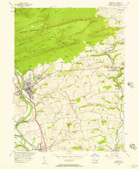
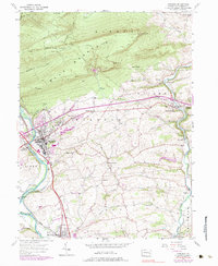
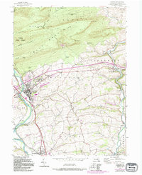
1956 Map of Hamburg
USGS Topo · Published 1957About this map
Blue Mountain dominates the northern horizon of this mid-century survey, its ridgeline carrying the Appalachian Trail across high points like The Pinnacle and Pulpit Rock. Below the slopes, the industrial and civic heart of the region centers on Hamburg, where the Schuylkill River and the Reading Railroad corridor shaped local growth. Notable landmarks of the era include the Hamburg Tuberculosis Sanatorium and the geological curiosity of Onyx Cave to the south.
Find a feature on this map
47 named features on this map. Tap any name to fly to it.
Don’t see what you’re looking for? This feature index may not catch every label — zoom into the map to look around manually.
Map Details
Editions of this 1956 Hamburg Map
10 editions found

Other maps of this area

1889 · Pottsville
USGS Topo · 1:62,500

1891 · Pottsville
USGS Topo · 1:62,500

1894 · Reading
USGS Topo · 1:62,500

1902 · Wernersville
USGS Topo · 1:62,500

1909 · Hamburg
USGS Topo · 1:62,500

1911 · Hamburg
USGS Topo · 1:62,500

1913 · Reading
USGS Topo · 1:62,500

1915 · Reading
USGS Topo · 1:62,500

1943 · Wernersville
USGS Topo · 1:62,500

1944 · Reading
USGS Topo · 1:62,500