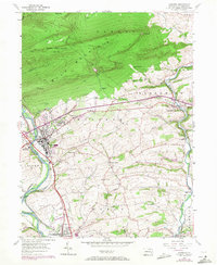
1956 Map of Hamburg
USGS Topo · Published 1971About this map
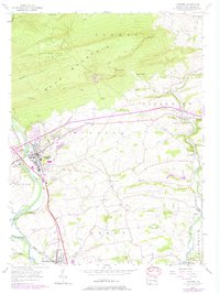
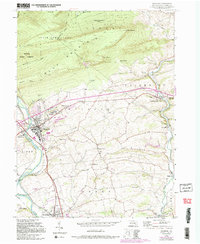
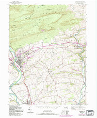
Hamburg sits at the base of Blue Mountain along the Schuylkill River, serving as a central hub for the surrounding townships of Windsor and Tilden. This mid-century survey illustrates the transition from river-based infrastructure to modern highway development, with the Schuylkill Canal and Five Locks still legible near the Reading Railroad corridor. The northern section is dominated by the ridges of State Game Lands No 106, where the Appalachian Trail crosses landmark heights like The Pinnacle and Pulpit Rock. The map records significant institutional presence in the region, most notably the Hamburg Tuberculosis Sanatorium. Rural life is preserved through numerous family-named landmarks and local institutions, including the Heinly Sch and Hepner Sch, alongside country congregations at St Pauls Ch and Union Ch.
Find a feature on this map
51 named features on this map. Tap any name to fly to it.
Don’t see what you’re looking for? This feature index may not catch every label — zoom into the map to look around manually.
Map Details
Editions of this 1956 Hamburg Map
10 editions found
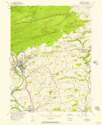
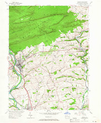
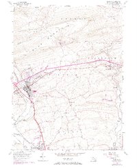
Other maps of this area

1889 · Pottsville
USGS Topo · 1:62,500

1891 · Pottsville
USGS Topo · 1:62,500

1894 · Reading
USGS Topo · 1:62,500

1902 · Wernersville
USGS Topo · 1:62,500

1909 · Hamburg
USGS Topo · 1:62,500

1911 · Hamburg
USGS Topo · 1:62,500

1913 · Reading
USGS Topo · 1:62,500

1915 · Reading
USGS Topo · 1:62,500

1943 · Wernersville
USGS Topo · 1:62,500

1944 · Reading
USGS Topo · 1:62,500