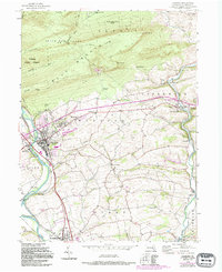
1956 Map of Hamburg
USGS Topo · Published 1994About this map
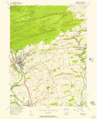
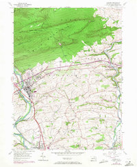
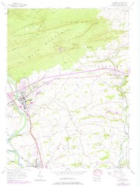
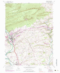
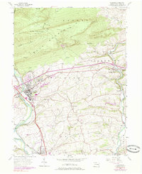
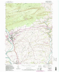
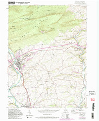
Blue Mountain dominates the northern horizon of this mid-century Berks County landscape, where the Appalachian (National Scenic) Trail winds past prominent landmarks like The Pinnacle and Pulpit Rock. Below the ridge, the Schuylkill River and Maiden Creek define the valley's drainage, supporting a network of small settlements such as Edenburg, Windsor Castle, and the regional hub of Hamburg. The map documents a significant era of institutional and recreational growth, noting the Hamburg Tuberculosis Sanatorium on the outskirts of town and the Berne Speedway to the south. Local heritage is preserved through the locations of rural schoolhouses like Hepner Sch and Hemly Sch, alongside established community anchors such as St Pauls Ch and Union Ch. The inclusion of Onyx Cave highlights the area's subterranean geological features, while the expansion of the interstate system is visible via several major interchanges.
Find a feature on this map
51 named features on this map. Tap any name to fly to it.
Don’t see what you’re looking for? This feature index may not catch every label — zoom into the map to look around manually.
Map Details
Editions of this 1956 Hamburg Map
10 editions found
Other maps of this area

1889 · Pottsville
USGS Topo · 1:62,500

1891 · Pottsville
USGS Topo · 1:62,500

1894 · Reading
USGS Topo · 1:62,500

1902 · Wernersville
USGS Topo · 1:62,500

1909 · Hamburg
USGS Topo · 1:62,500

1911 · Hamburg
USGS Topo · 1:62,500

1913 · Reading
USGS Topo · 1:62,500

1915 · Reading
USGS Topo · 1:62,500

1943 · Wernersville
USGS Topo · 1:62,500

1944 · Reading
USGS Topo · 1:62,500