
Loading...
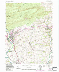
Loading map...1956 Map of Hamburg
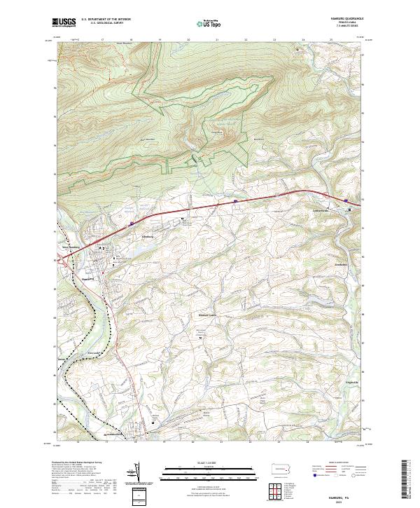
USGS Topo · Published 1978About this map
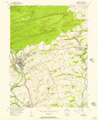
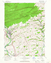
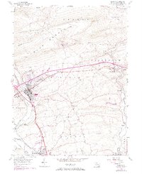
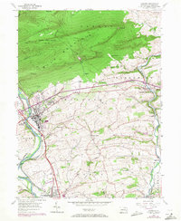
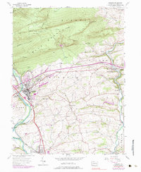
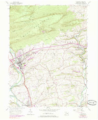
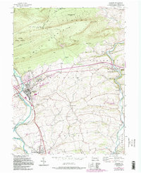
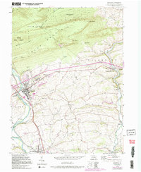
The Schuylkill River and the parallel path of the Schuylkill Canal anchor the industrial and transit corridor of this Berks County landscape. The town of Hamburg sits at a critical junction, where the Conrail lines and major roads meet the water. A notable institutional presence on the hill overlooking the valley is the Hamburg Tuberculosis Sanatorium, an important regional landmark during the mid-20th century. To the north, the terrain rises sharply into Blue Mountain, home to State Game Lands No 106 and the Appalachian Trail.
Find a feature on this map
53 named features on this map. Tap any name to fly to it.
Don’t see what you’re looking for? This feature index may not catch every label — zoom into the map to look around manually.
Map Details
Date Portrayed1956
Date Published1978
PublisherU.S. Geological Survey
Map TypeTopographic
Scale1:24,000
Physical Dimensions20.03 x 26.73 inches
Editions of this 1956 Hamburg Map
10 editions found
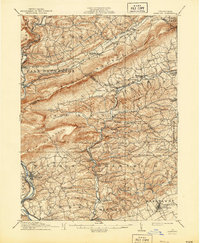
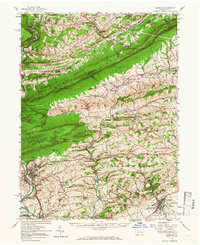
Historical Maps of Hamburg Through Time
5 maps found

Featured Locations
Source Details
SourceU.S. Geological Survey
CopyrightPublic Domain