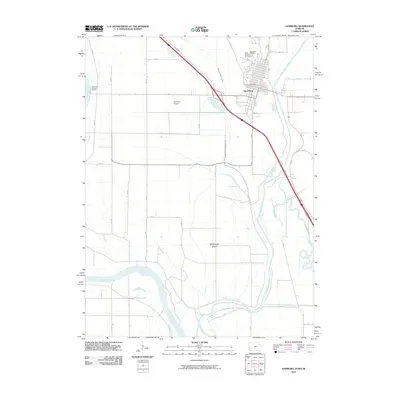
2010 Map of Hamburg
USGS Topo · Published 2010About this map
Hamburg sits at the nexus of the Missouri River and the Nishnabotna River, a landscape defined by significant hydrological engineering in Fremont County. The terrain reveals a sophisticated network of water management, including the Iowa Drainage Ditch, Main Ditch Number Six, and the High Creek Ditch, reflecting the region's agricultural intensity and flood control efforts. Local genealogy and community infrastructure are concentrated in the north, where Saint Marys Cemetery and Hamburg Cemetery lie near the town center and the Hamburg Post Office. The map also details McKissick Island, a geographically unique area south of the main settlement. Transportation and recreation are represented by the Hamburg Airport and the Hamburg-Mitchell Access on the riverbank, while Greys Lake provides a natural landmark amidst the surveyed sections and drainage channels.
Find a feature on this map
34 named features on this map. Tap any name to fly to it.
Don’t see what you’re looking for? This feature index may not catch every label — zoom into the map to look around manually.
Map Details
Editions of this 2010 Hamburg Map
This is the sole edition of this map. No revisions or reprints were ever made.
Other maps of this area

1907 · Nebraska City
USGS Topo · 1:62,500

1915 · Nemaha
USGS Topo · 1:62,500

1915 · Howe
USGS Topo · 1:62,500

1939 · Hamburg
USGS Topo · 1:62,500

1939 · Nemaha
USGS Topo · 1:62,500

1941 · Hamburg
USGS Topo · 1:62,500

1949 · Nemaha
USGS Topo · 1:62,500

1955 · Nebraska City
USGS Topo · 1:250,000

1957 · Nebraska City
USGS Topo · 1:250,000

1958 · Nebraska City
USGS Topo · 1:250,000