
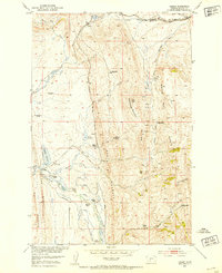
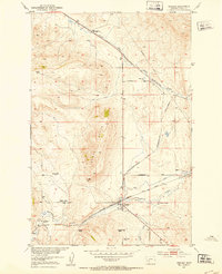
1951 Map of Hamen
USGS Topo · Published 1953About this map
The Chicago Milwaukee St Paul and Pacific railroad cuts through the northern landscape of Meagher County, passing the settlement of Loweth as it follows the Dry Fork Musselshell River. This mid-century map illustrates a transitional period for high-country livestock operations, noting several active homesteads alongside numerous properties marked as abandoned. The Tip Top School sits centrally among these ranches, serving a rural population clustered near water sources like Sixteenmile Creek and Woodson Creek.
Find a feature on this map
38 named features on this map. Tap any name to fly to it.
Don’t see what you’re looking for? This feature index may not catch every label — zoom into the map to look around manually.
Map Details
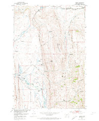
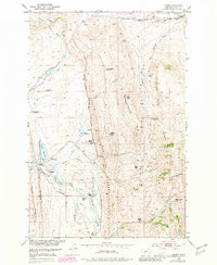
Editions of this 1951 Hamen Map
4 editions found
Other maps of this area

1886 · Little Belt Mts.
USGS Topo · 1:250,000

1894 · Little Belt Mts.
USGS Topo · 1:250,000

1897 · Little Belt Mts.
USGS Topo · 1:250,000

1898 · Little Belt Mts.
USGS Topo · 1:250,000

1902 · Little Belt Mts.
USGS Topo · 1:250,000

1948 · White Sulphur Springs
USGS Topo · 1:250,000

1951 · Sixteen NE
USGS Topo · 1:24,000
1951 · Wolf Hill
USGS Topo · 1:24,000
1951 · Ringling
USGS Topo · 1:24,000

1951 · Rimrock Divide
USGS Topo · 1:24,000