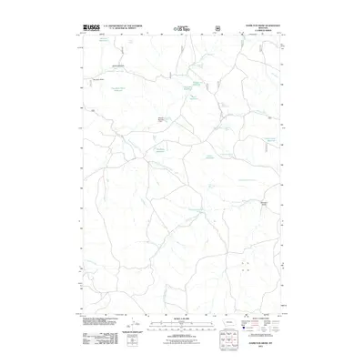
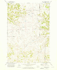
2011 Map of Hamilton Draw
USGS Topo · Published 2011About this map
Hamilton Draw and its surrounding watershed define this portion of Rosebud County, where a complex network of ranching-related water infrastructure dominates the landscape. The area is characterized by numerous small impoundments such as Lee-Creek Reservoir, Woodbury Reservoir, and the Hertzler Reservoir. These features, along with the Stevens Number 1 Dam, reveal a landscape meticulously managed for water retention in a region where seasonal drainages like North Fork Lee Creek and Little Bear Creek are critical lifelines.
Find a feature on this map
31 named features on this map. Tap any name to fly to it.
Don’t see what you’re looking for? This feature index may not catch every label — zoom into the map to look around manually.
Map Details
Editions of this 2011 Hamilton Draw Map
This is the sole edition of this map. No revisions or reprints were ever made.
Other maps of this area

1954 · Hardin
USGS Topo · 1:250,000

1957 · Hardin
USGS Topo · 1:250,000

1958 · Hardin
USGS Topo · 1:250,000

1966 · Browns Mountain
USGS Topo · 1:24,000

1966 · Poker Jim Butte
USGS Topo · 1:24,000

1966 · Fort Howes
USGS Topo · 1:24,000
1972 · Stroud Creek
USGS Topo · 1:24,000
1972 · Forks Ranch
USGS Topo · 1:24,000
1972 · Bear Creek School
USGS Topo · 1:24,000
1972 · Hamilton Draw
USGS Topo · 1:24,000