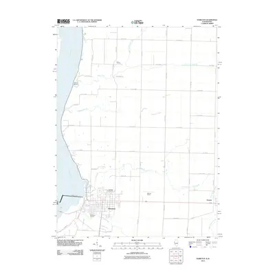
2012 Map of Hamilton
USGS Topo · Published 2012About this map
Hamilton and Elvaston occupy the high ground east of the Mississippi River in this 2012 study of the Illinois-Iowa borderlands. The landscape is defined by the massive infrastructure of the Keokuk Dam and the nearby Sullivan Airport, which serve as modern anchors for the region. Historical continuity is evident in the preservation of the Oakwood Cemetery and Greenwood Cemetery, alongside rural burial grounds like Sterns Cemetery to the north near Mount Moriah.
Find a feature on this map
43 named features on this map. Tap any name to fly to it.
Don’t see what you’re looking for? This feature index may not catch every label — zoom into the map to look around manually.
Map Details
Editions of this 2012 Hamilton Map
2 editions found
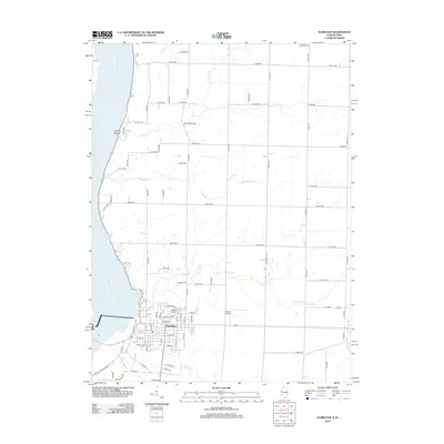
Other maps of this area

1932 · Lomax
USGS Topo · 1:62,500

1933 · Carthage
USGS Topo · 1:62,500

1936 · Keokuk
USGS Topo · 1:62,500

1936 · Fort Madison
USGS Topo · 1:62,500

1937 · Carthage
USGS Topo · 1:62,500

1937 · Lomax
USGS Topo · 1:62,500

1950 · Keokuk
USGS Topo · 1:62,500

1958 · Burlington
USGS Topo · 1:250,000

1961 · Burlington
USGS Topo · 1:250,000

1963 · Burlington
USGS Topo · 1:250,000