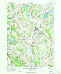
1943 Map of Hamilton
USGS Topo · Published 1971About this map
Colgate University sits at the heart of this Madison County landscape, overlooking a series of glacial features and water bodies that define the terrain. The village of Hamilton is the primary hub, surrounded by a complex network of reservoirs and ponds such as Lebanon Reservoir, Leland Pond, and Moraine Lake. The topographic data, derived from 1942 aerial photography, captures the region at a moment when two major rail lines, the New York Ontario and Western RR and the Delaware Lackawanna and Western RR, still carved paths through the Chenango River valley and across the hills.
Find a feature on this map
43 named features on this map. Tap any name to fly to it.
Don’t see what you’re looking for? This feature index may not catch every label — zoom into the map to look around manually.
Map Details
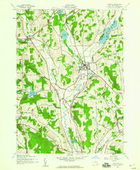
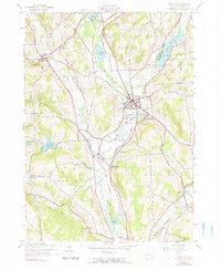
Editions of this 1943 Hamilton Map
3 editions found
Other maps of this area

1902 · Morrisville
USGS Topo · 1:62,500

1903 · Norwich
USGS Topo · 1:62,500

1907 · Sangerfield
USGS Topo · 1:62,500

1910 · New Berlin
USGS Topo · 1:62,500

1912 · New Berlin
USGS Topo · 1:62,500

1943 · Otselic
USGS Topo · 1:24,000

1943 · West Eaton
USGS Topo · 1:24,000

1943 · Morrisville
USGS Topo · 1:24,000

1943 · Hubbardsville
USGS Topo · 1:24,000

1943 · Sangerfield
USGS Topo · 1:62,500