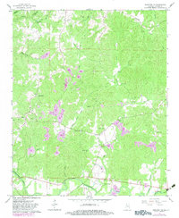
1967 Map of Hamilton NE
USGS Topo · Published 1983About this map
The Tennessee Valley Divide snakes across this corner of Marion County, separating the northern waters of Brush Creek from the southern drainages of the Buttahatchee River. In the late 1960s, this rural landscape was defined by its scattered country churches and schools, such as Union Hill Ch and the Southern Schoolhouse Ch. The map captures a moment of transition as traditional mill sites like Tyre Mill Pond remained named landmarks while extensive Strip Mine and Claypits operations began to recontour the hillsides.
Find a feature on this map
36 named features on this map. Tap any name to fly to it.
Don’t see what you’re looking for? This feature index may not catch every label — zoom into the map to look around manually.
Map Details
Editions of this 1967 Hamilton NE Map
2 editions found
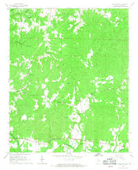
Other maps of this area

1936 · Hodges
USGS Topo · 1:24,000

1936 · Phil Campbell
USGS Topo · 1:24,000

1936 · South Of Hackleburg
USGS Topo · 1:24,000

1936 · Hackleburg
USGS Topo · 1:24,000

1936 · Goddard
USGS Topo · 1:24,000

1946 · Hackleburg
USGS Topo · 1:24,000

1946 · Phil Campbell
USGS Topo · 1:24,000

1947 · Phil Campbell
USGS Topo · 1:24,000
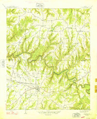
1948 · Hackleburg
USGS Topo · 1:24,000

1949 · Hodges
USGS Topo · 1:24,000