
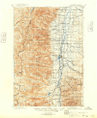
1901 Map of Hamilton
USGS Topo · Published 1901About this map
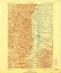
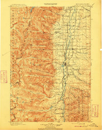
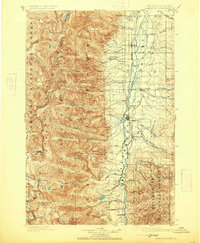
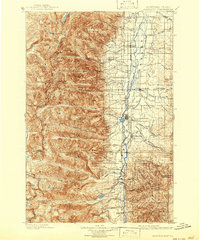
Hamilton serves as the focal point of the Bitterroot Valley at the turn of the century, positioned where the valley floor meets the imposing Bitterroot Mountains. This 1901 survey documents an era of significant agricultural and industrial investment, evidenced by an intricate network of irrigation canals such as the Republican Ditch, Surprise Ditch, and Hedge Ditch. These man-made watercourses redirect flows from the high mountain drainages like Blodgett Creek and Canyon Creek to support the growing settlements of Victor, Corvallis, and Woodside.
Find a feature on this map
84 named features on this map. Tap any name to fly to it.
Don’t see what you’re looking for? This feature index may not catch every label — zoom into the map to look around manually.
Map Details
Editions of this 1901 Hamilton Map
6 editions found
Other maps of this area

1903 · Bonner
USGS Topo · 1:125,000

1909 · Sapphire
USGS Topo · 1:125,000

1911 · Lolo
USGS Topo · 1:250,000

1912 · Missoula
USGS Topo · 1:125,000

1913 · Lolo
USGS Topo · 1:250,000

1947 · Butte
USGS Topo · 1:250,000

1955 · Dillon
USGS Topo · 1:250,000

1956 · Elk City
USGS Topo · 1:250,000

1956 · Hamilton
USGS Topo · 1:250,000

1957 · Dillon
USGS Topo · 1:250,000