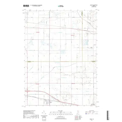
2019 Map of Hamlet
USGS Topo · Published 2019About this map
Hamlet and Grovertown anchor the southern portion of this landscape, situated at the intersection of significant early automotive and rail corridors in northern Indiana. The town of Hamlet shows a distinct street grid, including Railroad St and S Starke St, lying just north of E Old Us Highway 30. This thoroughfare is mirrored by the historic E Yellowstone Trl, marking the era of early transcontinental travel routes that preceded the modern interstate system.
Find a feature on this map
89 named features on this map. Tap any name to fly to it.
Don’t see what you’re looking for? This feature index may not catch every label — zoom into the map to look around manually.
Map Details
Editions of this 2019 Hamlet Map
This is the sole edition of this map. No revisions or reprints were ever made.
Other maps of this area

1953 · Chicago
USGS Topo · 1:250,000

1957 · Chicago
USGS Topo · 1:250,000

1957 · Knox East
USGS Topo · 1:24,000

1957 · Knox West
USGS Topo · 1:24,000

1958 · Donaldson
USGS Topo · 1:24,000

1958 · Kingsford Heights
USGS Topo · 1:24,000

1958 · Hamlet
USGS Topo · 1:24,000

1958 · Walkerton
USGS Topo · 1:24,000

1958 · Stillwell
USGS Topo · 1:24,000

1958 · North Liberty
USGS Topo · 1:24,000