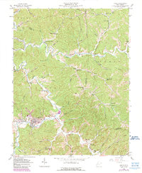
1958 Map of Hamlin
USGS Topo · Published 1989About this map
Hamlin and New Hamlin serve as the focal points of this 1950s survey, situated along the meandering path of the Mud River. The landscape is defined by a dense network of hollows and ridges, with numerous small communities and rural institutions scattered throughout the hills. Numerous country churches and schools like Walnut Grove Ch, Pleasant Hill Ch, and the Lower Coon Creek Sch reflect the area's distributed settlement pattern. The local economy in the late 1950s is underscored by the frequent presence of gas and oil wells, which are interspersed among family-named landmarks like Roberts Cem and geographic features such as Trace Fork and Middle Creek. This map, updated in the late 1980s, captures the enduring character of these Appalachian communities before later developments significantly altered the rural landscape.
Find a feature on this map
91 named features on this map. Tap any name to fly to it.
Don’t see what you’re looking for? This feature index may not catch every label — zoom into the map to look around manually.
Map Details
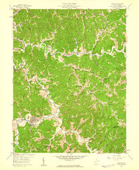
Editions of this 1958 Hamlin Map
2 editions found
Other maps of this area

1892 · Huntington
USGS Topo · 1:125,000

1898 · Huntington
USGS Topo · 1:125,000

1899 · Charleston
USGS Topo · 1:125,000

1902 · Milton
USGS Topo · 1:62,500

1902 · Midkiff
USGS Topo · 1:62,500

1907 · Midkiff
USGS Topo · 1:62,500

1909 · Midkiff
USGS Topo · 1:62,500

1909 · Saint Albans
USGS Topo · 1:62,500

1911 · Madison
USGS Topo · 1:62,500

1929 · Madison
USGS Topo · 1:62,500