
1962 Map of Hammond
USGS Topo · Published 1964About this map
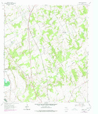
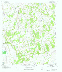
The Southern Pacific and Missouri Pacific railroads anchor the rural landscape of Robertson County in the early 1960s, cutting through a mosaic of small farming communities and creek drainages. The settlement of Hammond serves as a focal point, supported by the Hammond High Sch and nearby Bethlehem Ch and Bethlehem Cem. The area’s geography is defined by the winding course of the Brazos River and its associated Brazos River Diversion Channel, which separate the floodplains from the higher prairie ground where several country churches, including Shiloh Ch and Morning Star Ch, provided social centers for dispersed families. A network of minor waterways like Walnut Creek and Bee Branch feed into the river system, while local industry is represented by a Gravel Pit and numerous pipelines that traverse the terrain alongside established settlements like Beacon and Tidwell Prairie.
Find a feature on this map
29 named features on this map. Tap any name to fly to it.
Don’t see what you’re looking for? This feature index may not catch every label — zoom into the map to look around manually.
Map Details
Editions of this 1962 Hammond Map
3 editions found
Other maps of this area

1954 · Waco
USGS Topo · 1:250,000

1954 · Austin
USGS Topo · 1:250,000

1955 · Waco
USGS Topo · 1:250,000

1961 · Hearne North
USGS Topo · 1:24,000

1961 · Baileyville
USGS Topo · 1:24,000

1962 · Calvert
USGS Topo · 1:24,000

1962 · Maysfield
USGS Topo · 1:24,000

1962 · Reagan
USGS Topo · 1:24,000

1962 · Bremond
USGS Topo · 1:24,000

1962 · Petteway
USGS Topo · 1:24,000