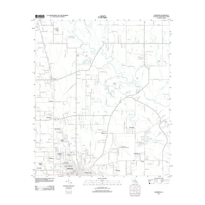
2012 Map of Hammond
USGS Topo · Published 2012About this map
The Southeastern Louisiana University campus anchors the southern portion of this landscape, reflecting the modern growth of Hammond as an educational and regional hub. The map shows a clear transition from the urban grid of the city to suburban developments like Woodland Park and University Place, eventually giving way to the wooded creek drainages of the Tangipahoa River and Ponchatoula Creek. This area of Tangipahoa Parish is defined by a dense network of local roads and several small settlements including Tickfaw, Natalbany, and Genessee. For those researching family history, numerous burial grounds are documented, such as Mount Stevens Cemetery, Tycer Cemetery, and the distant Hoffman Cemetery to the east. Transportation infrastructure is prominent, featuring the Hammond Northshore Regional Airport and the rail corridor along NW Railroad Ave, which historically facilitated the movement of agricultural goods and timber throughout the parish.
Find a feature on this map
190 named features on this map. Tap any name to fly to it.
Don’t see what you’re looking for? This feature index may not catch every label — zoom into the map to look around manually.
Map Details
Editions of this 2012 Hammond Map
This is the sole edition of this map. No revisions or reprints were ever made.
Other maps of this area

1934 · Springfield
USGS Topo · 1:62,500

1935 · Ponchatoula
USGS Topo · 1:62,500

1939 · Ponchatoula
USGS Topo · 1:62,500

1939 · Springfield
USGS Topo · 1:62,500

1940 · Tickfaw
USGS Topo · 1:31,680

1942 · Husser
USGS Topo · 1:31,680

1942 · Robert
USGS Topo · 1:31,680

1942 · Loranger
USGS Topo · 1:31,680

1949 · Amite
USGS Topo · 1:31,680

1949 · Albany
USGS Topo · 1:31,680