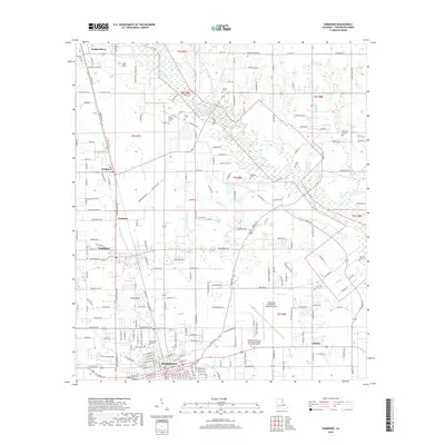
2018 Map of Hammond
USGS Topo · Published 2018About this map
Hammond and its surrounding Tangipahoa Parish communities are documented in this 21st-century survey, revealing a landscape where established urban centers meet the agricultural and marshy lowlands of south Louisiana. The city's growth is anchored by Southeastern Louisiana University and the Hammond Northshore Regional Airport, while the northern reaches maintain a rural character defined by family-named landmarks and cemeteries like Mount Stevens Cem and Tycer Cem. A complex network of waterways, including the Tangipahoa River and Ponchatoula Cr, dictates the layout of smaller settlements like Natalbany and Independence. The transition from the developed streets of the city to the drainage patterns of Selser Canal and Skulls Cr illustrates the ongoing management of this low-lying terrain, providing a clear record of land use and local geography in the modern era.
Find a feature on this map
209 named features on this map. Tap any name to fly to it.
Don’t see what you’re looking for? This feature index may not catch every label — zoom into the map to look around manually.
Map Details
Editions of this 2018 Hammond Map
This is the sole edition of this map. No revisions or reprints were ever made.
Other maps of this area

1934 · Springfield
USGS Topo · 1:62,500

1935 · Ponchatoula
USGS Topo · 1:62,500

1939 · Ponchatoula
USGS Topo · 1:62,500

1939 · Springfield
USGS Topo · 1:62,500

1940 · Tickfaw
USGS Topo · 1:31,680

1942 · Husser
USGS Topo · 1:31,680

1942 · Robert
USGS Topo · 1:31,680

1942 · Loranger
USGS Topo · 1:31,680

1949 · Amite
USGS Topo · 1:31,680

1949 · Albany
USGS Topo · 1:31,680