Loading...
Loading map...2024 Map of Hammond
USGS Topo · Published 2024About this map
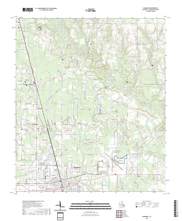
The city of Hammond anchors this contemporary view of Tangipahoa Parish, dominated by the campus of Southeastern Louisiana University and its North Campus Main Building. The landscape is a mix of educational infrastructure and aviation history, centered on the Hammond Northshore Regional Airport. To the north, the terrain transitions into smaller communities like Natalbany, Tickfaw, and the rail-aligned Genessee.
Find a feature on this map
54 named features on this map. Tap any name to fly to it.
Don’t see what you’re looking for? This feature index may not catch every label — zoom into the map to look around manually.
Map Details
Date Portrayed2024
Date Published2024
PublisherU.S. Geological Survey
Map TypeTopographic
Scale1:24000
Physical Dimensions24 x 29 inches
Editions of this 2024 Hammond Map
This is the sole edition of this map. No revisions or reprints were ever made.
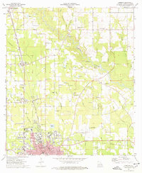
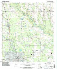
Historical Maps of Natalbany Through Time
5 maps found


Featured Locations
Source Details
SourceU.S. Geological Survey
CopyrightPublic Domain