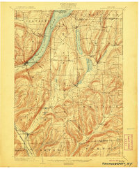
1903 Map of Hammondsport
USGS Topo · Published 1906About this map
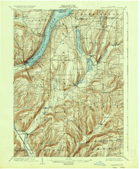
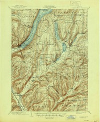
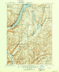
Hammondsport sits at the southern tip of Keuka Lake, serving as a vital transportation hub at the dawn of the twentieth century. This survey reveals a landscape where water and rail connectivity defined local commerce, notably through the Steamboat Route that traversed the lake from Gibson Landing and Catawba. On land, the Bath & Hammondsport R. R. connected the village to broader markets via the Erie R. R. (Rochester Div.) and the Delaware Lackawanna and Western R. R. near Savona.
Find a feature on this map
66 named features on this map. Tap any name to fly to it.
Don’t see what you’re looking for? This feature index may not catch every label — zoom into the map to look around manually.
Map Details
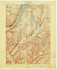
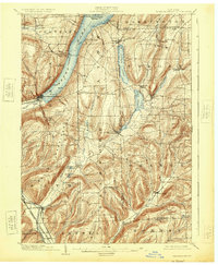
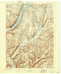
Editions of this 1903 Hammondsport Map
8 editions found
Other maps of this area

1895 · Elmira
USGS Topo · 1:62,500

1898 · Watkins Glen
USGS Topo · 1:62,500

1900 · Naples
USGS Topo · 1:62,500

1901 · Watkins
USGS Topo · 1:62,500

1902 · Ovid
USGS Topo · 1:62,500

1903 · Naples
USGS Topo · 1:62,500

1903 · Penn Yan
USGS Topo · 1:62,500

1903 · Hammondsport
USGS Topo · 1:62,500

1905 · Watkins Glen
USGS Topo · 1:125,000

1910 · Bath
USGS Topo · 1:62,500