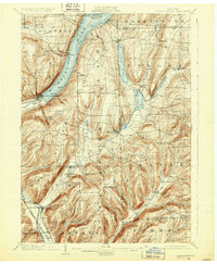
1903 Map of Hammondsport
USGS Topo · Published 1931About this map
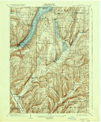
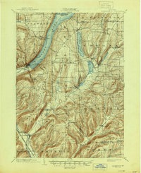
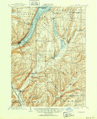
Keuka Lake and the surrounding Finger Lakes terrain define this early twentieth-century landscape, centered on the bustling village of Hammondsport. The map illustrates the region's complex lake systems and steep valleys, showing the southern reaches of the lake where Keuka Inlet meets the town. Transportation is a primary feature, with the Bath & Hammondsport railroad serving the lakeside while the Erie R. R. (Rochester Div.) and Delaware Lackawanna & Western R. R. traverse the southern corridor near Savona.
Find a feature on this map
56 named features on this map. Tap any name to fly to it.
Don’t see what you’re looking for? This feature index may not catch every label — zoom into the map to look around manually.
Map Details
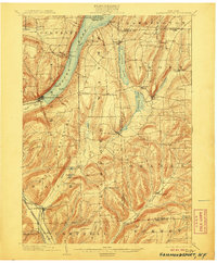
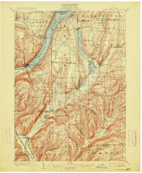
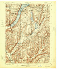
Editions of this 1903 Hammondsport Map
8 editions found
Other maps of this area

1895 · Elmira
USGS Topo · 1:62,500

1898 · Watkins Glen
USGS Topo · 1:62,500

1900 · Naples
USGS Topo · 1:62,500

1901 · Watkins
USGS Topo · 1:62,500

1902 · Ovid
USGS Topo · 1:62,500

1903 · Naples
USGS Topo · 1:62,500

1903 · Penn Yan
USGS Topo · 1:62,500

1903 · Hammondsport
USGS Topo · 1:62,500

1905 · Watkins Glen
USGS Topo · 1:125,000

1910 · Bath
USGS Topo · 1:62,500