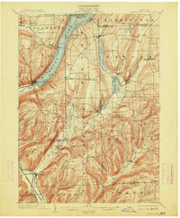
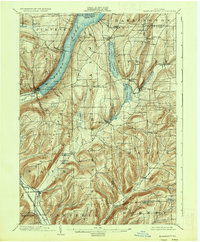
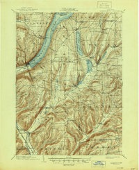
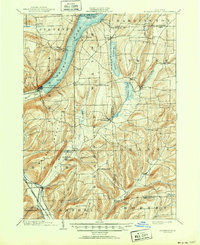
1903 Map of Hammondsport
USGS Topo · Published 1913About this map
Keuka Lake anchors this early twentieth-century landscape, where the Y-shaped water body meets the village of Hammondsport at its southern tip. This area is characterized by a sophisticated transportation network that supported the local economy, including the Bath & Hammondsport line and the Erie R.R. (Rochester Div.). The terrain is marked by deep hollows and narrow valleys, such as Birdseye Hollow Creek, which flow toward the Cohocton River near Savona.
Find a feature on this map
59 named features on this map. Tap any name to fly to it.
Don’t see what you’re looking for? This feature index may not catch every label — zoom into the map to look around manually.
Map Details
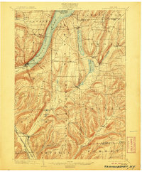
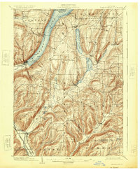
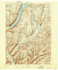
Editions of this 1903 Hammondsport Map
8 editions found
Other maps of this area

1895 · Elmira
USGS Topo · 1:62,500

1898 · Watkins Glen
USGS Topo · 1:62,500

1900 · Naples
USGS Topo · 1:62,500

1901 · Watkins
USGS Topo · 1:62,500

1902 · Ovid
USGS Topo · 1:62,500

1903 · Naples
USGS Topo · 1:62,500

1903 · Penn Yan
USGS Topo · 1:62,500

1903 · Hammondsport
USGS Topo · 1:62,500

1905 · Watkins Glen
USGS Topo · 1:125,000

1910 · Bath
USGS Topo · 1:62,500