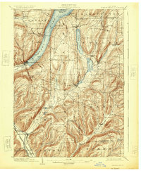
1903 Map of Hammondsport
USGS Topo · Published 1925About this map
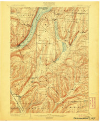
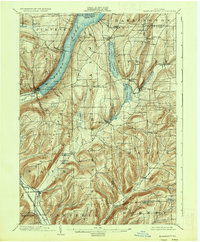
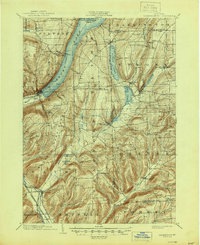
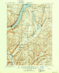
Keuka Lake serves as the dominant geographic anchor of this Finger Lakes region, where a charted Steamboat Route connects the town of Hammondsport to northern landings like Urbana and Gibson Landing. The landscape at the turn of the century is a complex network of glacial valleys and ridges, with the Bath & Hammondsport RR terminating at the lake's southern inlet. To the east, the twin basins of Little Lake and Lamoka Lake define the transition toward Tyrone, while the Delaware Lackawanna and Western RR follows the Cohocton River valley through Savona. This survey reveals the dense placement of agricultural settlements such as Wayne Four Corners and South Bradford, showing a rural society tightly integrated with its waterways and evolving rail transport.
Find a feature on this map
55 named features on this map. Tap any name to fly to it.
Don’t see what you’re looking for? This feature index may not catch every label — zoom into the map to look around manually.
Map Details
Editions of this 1903 Hammondsport Map
8 editions found
Other maps of this area

1895 · Elmira
USGS Topo · 1:62,500

1898 · Watkins Glen
USGS Topo · 1:62,500

1900 · Naples
USGS Topo · 1:62,500

1901 · Watkins
USGS Topo · 1:62,500

1902 · Ovid
USGS Topo · 1:62,500

1903 · Naples
USGS Topo · 1:62,500

1903 · Penn Yan
USGS Topo · 1:62,500

1903 · Hammondsport
USGS Topo · 1:62,500

1905 · Watkins Glen
USGS Topo · 1:125,000

1910 · Bath
USGS Topo · 1:62,500