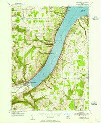
1953 Map of Hammondsport
USGS Topo · Published 1955About this map
Hammondsport sits at the southern tip of Keuka Lake where the Hammondsport Inlet feeds into the water. This mid-century survey illustrates the intense concentration of shoreline settlements and landings along the western and eastern banks of the lake's southern reach. Small communities such as Catawba, Urbana, and Gibson Landing are shown at the water's edge, while higher elevations to the west reveal rural hubs like South Pulteney and Elmbois. The topography is defined by the steep transition from the lake surface up to heights like Mount Washington, creating a landscape where road networks follow narrow valleys and shorelines. Local genealogists will find value in the placement of the Chestnut Grove Cem and smaller upland sites, alongside the layout of Wayne Four Corners and North Urbana during this period of Finger Lakes development.
Find a feature on this map
29 named features on this map. Tap any name to fly to it.
Don’t see what you’re looking for? This feature index may not catch every label — zoom into the map to look around manually.
Map Details
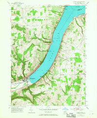
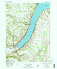
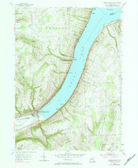
Editions of this 1953 Hammondsport Map
4 editions found
Other maps of this area

1900 · Naples
USGS Topo · 1:62,500

1903 · Naples
USGS Topo · 1:62,500

1903 · Penn Yan
USGS Topo · 1:62,500

1903 · Hammondsport
USGS Topo · 1:62,500

1910 · Bath
USGS Topo · 1:62,500

1913 · Naples
USGS Topo · 1:62,500

1942 · Prattsburg
USGS Topo · 1:31,680

1942 · Pulteney
USGS Topo · 1:31,680

1942 · Keuka Park
USGS Topo · 1:24,000

1943 · Keuka Lake
USGS Topo · 1:31,680