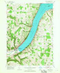
1953 Map of Hammondsport
USGS Topo · Published 1968About this map
Hammondsport sits at the southern tip of Keuka Lake, serving as the gateway to this portion of the Finger Lakes region during the mid-20th century. The village layout is intricately mapped, showing its orientation toward the Bath and Hammondsport Inlet and the surrounding vineyards and hills. Small lakeside landings and points, such as Gibson Landing, Catawba, and Willow Point, dot the eastern and western shores, reflecting the recreational and agricultural economy of the era.
Find a feature on this map
28 named features on this map. Tap any name to fly to it.
Don’t see what you’re looking for? This feature index may not catch every label — zoom into the map to look around manually.
Map Details
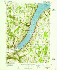
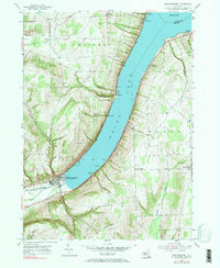
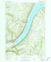
Editions of this 1953 Hammondsport Map
4 editions found
Other maps of this area

1900 · Naples
USGS Topo · 1:62,500

1903 · Naples
USGS Topo · 1:62,500

1903 · Penn Yan
USGS Topo · 1:62,500

1903 · Hammondsport
USGS Topo · 1:62,500

1910 · Bath
USGS Topo · 1:62,500

1913 · Naples
USGS Topo · 1:62,500

1942 · Prattsburg
USGS Topo · 1:31,680

1942 · Pulteney
USGS Topo · 1:31,680

1942 · Keuka Park
USGS Topo · 1:24,000

1943 · Keuka Lake
USGS Topo · 1:31,680