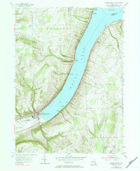
1953 Map of Hammondsport
USGS Topo · Published 1984About this map
Hammondsport sits at the southern tip of the y-shaped Keuka Lake, serving as a central hub for the surrounding grape-growing region of the Finger Lakes. The map illustrates a landscape of deep glacial valleys and steep ridges, where the Bath and Hammondsport Inlet feeds into the lake's southern basin. Settlement patterns are concentrated along the shoreline and at rural crossroads, with hamlets like South Pulteney and Wayne Four Corners anchoring the upland agricultural areas. The Bath and Hammondsport railroad line follows the valley floor, highlighting the importance of rail transport for moving goods from the lakeside town to broader markets. On the eastern shore, seasonal communities and landings such as Grove Springs and Gibson Landing demonstrate the lake's early development as a recreation and transport corridor. Prominent heights like Mount Washington overlook the water, defining the topographical character of the Urbana and Pulteney townships.
Find a feature on this map
29 named features on this map. Tap any name to fly to it.
Don’t see what you’re looking for? This feature index may not catch every label — zoom into the map to look around manually.
Map Details
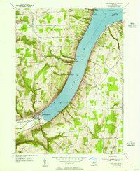
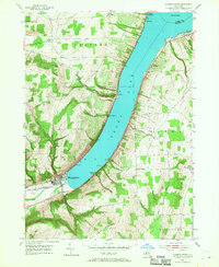
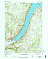
Editions of this 1953 Hammondsport Map
4 editions found
Other maps of this area

1900 · Naples
USGS Topo · 1:62,500

1903 · Naples
USGS Topo · 1:62,500

1903 · Penn Yan
USGS Topo · 1:62,500

1903 · Hammondsport
USGS Topo · 1:62,500

1910 · Bath
USGS Topo · 1:62,500

1913 · Naples
USGS Topo · 1:62,500

1942 · Prattsburg
USGS Topo · 1:31,680

1942 · Pulteney
USGS Topo · 1:31,680

1942 · Keuka Park
USGS Topo · 1:24,000

1943 · Keuka Lake
USGS Topo · 1:31,680