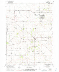
1968 Map of Hampshire
USGS Topo · Published 1991About this map
Agricultural lands at the border of Kane and DeKalb Counties define this 1960s landscape, anchored by the rail-oriented settlements of Hampshire and Burlington. The Chicago Milwaukee St Paul and Pacific railroad cuts a straight path through the northern township, while the Illinois Central Road serves the southern region, meeting at the village of Burlington. This period of the late 1960s shows a transition in land use, where traditional farming is punctuated by industrial features like Gravel Pits and localized infrastructure such as a Sewage Disposal plant. Waterways like Coon Creek and Buzzell Creek meander through the townships of Genoa and Sycamore, providing a natural contrast to the rigid grid of rural thoroughfares like Plank Road and Lenschow Road. Local genealogy is well-represented by established sites such as Hampshire Center Cem and Burlington Union Cem.
Find a feature on this map
30 named features on this map. Tap any name to fly to it.
Don’t see what you’re looking for? This feature index may not catch every label — zoom into the map to look around manually.
Map Details
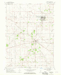
Editions of this 1968 Hampshire Map
2 editions found
Other maps of this area

1925 · Elgin
USGS Topo · 1:62,500

1932 · Geneva
USGS Topo · 1:62,500

1937 · Sycamore
USGS Topo · 1:62,500

1938 · Genoa
USGS Topo · 1:62,500

1940 · Elgin
USGS Topo · 1:62,500

1948 · Geneva
USGS Topo · 1:62,500

1954 · Rockford
USGS Topo · 1:250,000

1955 · Rockford
USGS Topo · 1:250,000

1958 · Aurora
USGS Topo · 1:250,000

1958 · Rockford
USGS Topo · 1:250,000