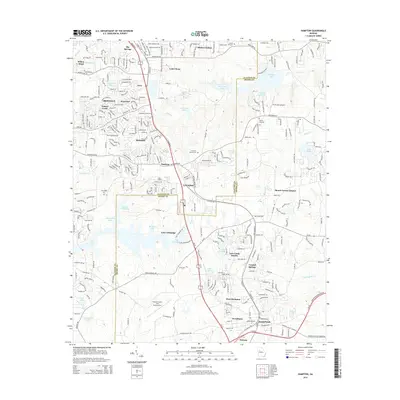
2014 Map of Hampton
USGS Topo · Published 2014About this map
The Norfolk Southern rail line serves as a central spine through this Georgia corridor, connecting the established communities of Irondale, Lovejoy, and Hampton. This 2014 survey documents a landscape defined by significant aviation infrastructure, including the Clayton County - Tara Field Airport and the smaller Diamond S Airport. The terrain is punctuated by numerous residential developments and private water bodies such as Lake Talmadge, Twelve Oaks Lake, and Lake Chase. Genealogists may find interest in the several rural burial grounds scattered across the area, including New Hope Cem and Noahs Ark Cem. The southern portion of the sheet transitions toward the headwaters of the Towaliga River, reflecting the region's balance between suburban expansion and its natural drainage systems.
Find a feature on this map
59 named features on this map. Tap any name to fly to it.
Don’t see what you’re looking for? This feature index may not catch every label — zoom into the map to look around manually.
Map Details
Editions of this 2014 Hampton Map
This is the sole edition of this map. No revisions or reprints were ever made.
Other maps of this area

1888 · Atlanta
USGS Topo · 1:125,000

1890 · Atlanta
USGS Topo · 1:125,000

1892 · Atlanta
USGS Topo · 1:125,000

1895 · Atlanta
USGS Topo · 1:125,000

1953 · Atlanta
USGS Topo · 1:250,000

1954 · Jonesboro
USGS Topo · 1:24,000

1954 · Riverdale
USGS Topo · 1:24,000

1957 · Atlanta
USGS Topo · 1:250,000

1958 · Atlanta
USGS Topo · 1:250,000

1964 · Luella
USGS Topo · 1:24,000