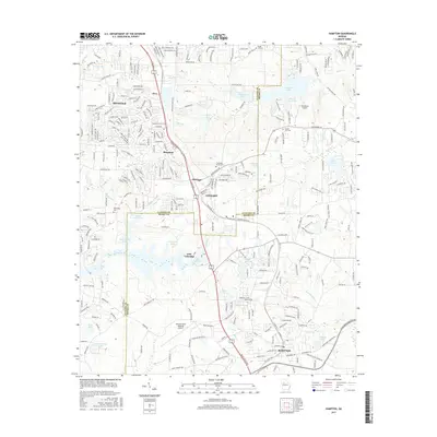
2017 Map of Hampton
USGS Topo · Published 2017About this map
Hampton and Lovejoy anchor this survey of the South Georgia Piedmont, where the suburban sprawl of the Atlanta region meets a landscape still defined by its agricultural roots and complex water systems. The Norfolk Southern railway serves as a central corridor, passing through the established settlements of Bonanza, Hastings, and Orrs. This area is particularly dense with small-scale reservoirs and private impoundments such as Lake Talmadge, Shamrock Lake, and Twelve Oaks Lake, which feed the tributaries of the Towaliga River and Pates Creek.
Find a feature on this map
270 named features on this map. Tap any name to fly to it.
Don’t see what you’re looking for? This feature index may not catch every label — zoom into the map to look around manually.
Map Details
Editions of this 2017 Hampton Map
This is the sole edition of this map. No revisions or reprints were ever made.
Other maps of this area

1888 · Atlanta
USGS Topo · 1:125,000

1890 · Atlanta
USGS Topo · 1:125,000

1892 · Atlanta
USGS Topo · 1:125,000

1895 · Atlanta
USGS Topo · 1:125,000

1953 · Atlanta
USGS Topo · 1:250,000

1954 · Jonesboro
USGS Topo · 1:24,000

1954 · Riverdale
USGS Topo · 1:24,000

1957 · Atlanta
USGS Topo · 1:250,000

1958 · Atlanta
USGS Topo · 1:250,000

1964 · Luella
USGS Topo · 1:24,000