
1969 Map of Hampton
USGS Topo · Published 1972About this map
Union Pacific rail tracks bisect the landscape near the small siding of Hampton, following the natural corridor carved by the winding Muddy Creek. This 1969 field-checked survey illustrates the high-desert topography at the border of Lincoln and Uinta counties. The area is defined by the confluence of Little Muddy Creek and its larger namesake, with numerous benchmark elevations like BM 6393 and BM 6418 providing precise data points across the arid terrain. The map captures a moment when the transportation network relied heavily on these established rail lines and primitive roads through the southwestern Wyoming sagebrush country.
Find a feature on this map
11 named features on this map. Tap any name to fly to it.
Don’t see what you’re looking for? This feature index may not catch every label — zoom into the map to look around manually.
Map Details
Editions of this 1969 Hampton Map
This is the sole edition of this map. No revisions or reprints were ever made.
Other maps of this area

1954 · Ogden
USGS Topo · 1:250,000

1958 · Ogden
USGS Topo · 1:250,000

1960 · Ogden
USGS Topo · 1:250,000

1964 · Carter
USGS Topo · 1:24,000

1964 · Austin Reservoir
USGS Topo · 1:24,000
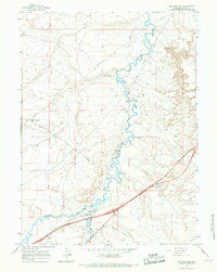
1965 · Millersville
USGS Topo · 1:24,000

1969 · Church Butte NW
USGS Topo · 1:24,000

1969 · Roberson Creek
USGS Topo · 1:24,000
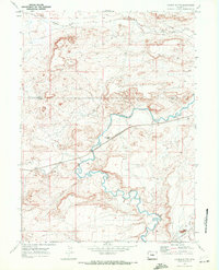
1969 · Church Butte
USGS Topo · 1:24,000
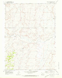
1969 · Mulkay Spring
USGS Topo · 1:24,000