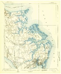
1907 Map of Hampton
USGS Topo · Published 1918About this map
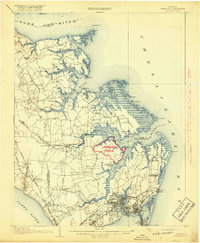
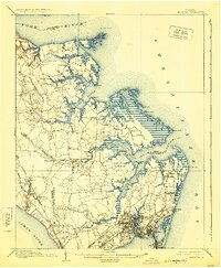
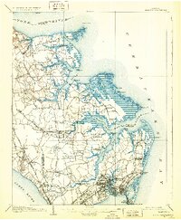
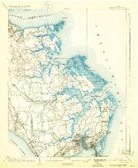
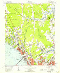
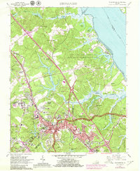
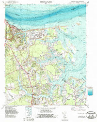
Langley Field appears as a prominent red-overprinted addition to this coastal Virginia landscape, highlighting its rapid emergence during the First World War. Situated between the York River and the James River, the region is a complex network of peninsulas including Goodwin Neck and Fish Neck, where maritime life centered on sites like Slates Wharf and Amory's Wharf. Further south, the legacy of the Civil War is marked by the Big Bethel Battlefield and the massive fortification at Fort Monroe on Old Point Comfort.
Find a feature on this map
82 named features on this map. Tap any name to fly to it.
Don’t see what you’re looking for? This feature index may not catch every label — zoom into the map to look around manually.
Map Details
Editions of this 1907 Hampton Map
6 editions found

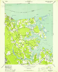
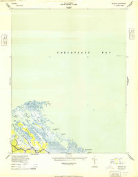
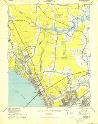
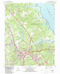
Historical Maps of Hampton Through Time
26 maps found
1907 Hampton
York County, VA
1944 Harris Grove
York County, VA
1944 Messick
York County, VA
1944 Morrison
York County, VA
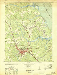
1951 Williamsburg
York County, VA
1952 Williamsburg
York County, VA
1955 Harris Grove
York County, VA
1955 Messick
York County, VA
1955 Morrison
York County, VA
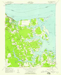
1964 Poquoson East
York County, VA
1965 Newport News North
York County, VA
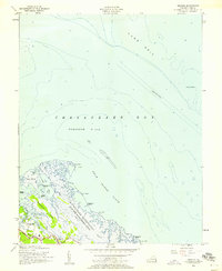
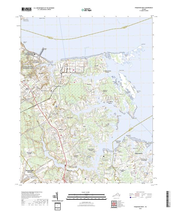
1965 Poquoson West
York County, VA
1965 Williamsburg
York County, VA
1973 Newport News North
York County, VA
1973 Poquoson East
York County, VA
1973 Poquoson West
York County, VA
1983 Poquoson West
York County, VA
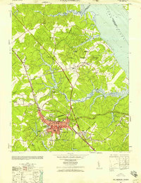
1984 Williamsburg
York County, VA
1986 East of Hampton
York County, VA
1986 East of Poquoson East
York County, VA
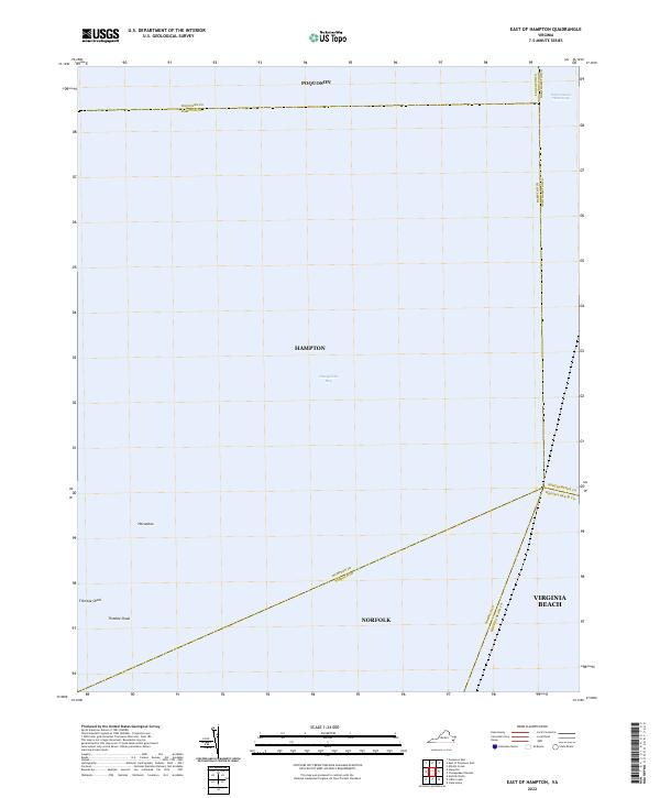
2022 East of Hampton
York County, VA
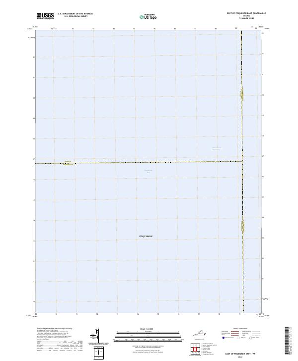
2022 East of Poquoson East
York County, VA
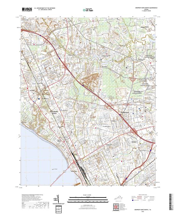
2022 Newport News North
York County, VA
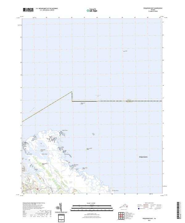
2022 Poquoson East
York County, VA
2022 Poquoson West
York County, VA
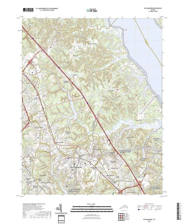
2022 Williamsburg
York County, VA