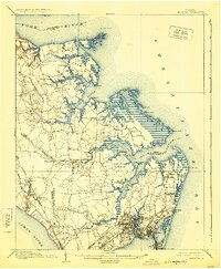
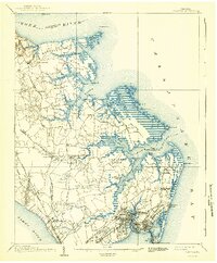
1907 Map of Hampton
USGS Topo · Published 1925About this map
Hampton and the surrounding peninsula at the turn of the century reveal a landscape defined by its strategic coastal positioning and Civil War legacy. The map highlights the Big Bethel Battlefield and nearby Big Bethel Church, marking sites of early conflict in the war. Coastal infrastructure is extensive, featuring Fort Monroe at Old Point Comfort and the National Soldiers Home, alongside early aviation developments at Langley Field.
Find a feature on this map
82 named features on this map. Tap any name to fly to it.
Don’t see what you’re looking for? This feature index may not catch every label — zoom into the map to look around manually.
Map Details
Editions of this 1907 Hampton Map
6 editions found
Other maps of this area

1906 · Williamsburg
USGS Topo · 1:62,500

1907 · Norfolk
USGS Topo · 1:125,000

1907 · Yorktown
USGS Topo · 1:62,500

1907 · Hampton
USGS Topo · 1:62,500

1916 · Mathews
USGS Topo · 1:62,500

1917 · Mathews
USGS Topo · 1:62,500

1918 · Cape Henry
USGS Topo · 1:62,500

1919 · Smithfield
USGS Topo · 1:62,500

1919 · Cape Henry
USGS Topo · 1:62,500

1921 · Newport News
USGS Topo · 1:62,500