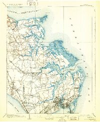
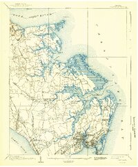
1907 Map of Hampton
USGS Topo · Published 1931About this map
The Virginia Peninsula’s complex maritime geography is meticulously recorded in this early 20th-century survey, just as aviation and electrical transit began to reshape the region. Fort Monroe and its neighboring National Soldiers Home anchor the southern tip of the peninsula at Old Point Comfort, while the emerging military presence of Langley Field sits positioned between the branches of the Back River. This coastal landscape is a network of wharves and small water-oriented settlements like Messick and Odd, reflecting an era when transportation relied heavily on the intricate inlets of the Poquoson River and York River.
Find a feature on this map
87 named features on this map. Tap any name to fly to it.
Don’t see what you’re looking for? This feature index may not catch every label — zoom into the map to look around manually.
Map Details
Editions of this 1907 Hampton Map
6 editions found
Other maps of this area

1906 · Williamsburg
USGS Topo · 1:62,500

1907 · Norfolk
USGS Topo · 1:125,000

1907 · Yorktown
USGS Topo · 1:62,500

1907 · Hampton
USGS Topo · 1:62,500

1916 · Mathews
USGS Topo · 1:62,500

1917 · Mathews
USGS Topo · 1:62,500

1918 · Cape Henry
USGS Topo · 1:62,500

1919 · Smithfield
USGS Topo · 1:62,500

1919 · Cape Henry
USGS Topo · 1:62,500

1921 · Newport News
USGS Topo · 1:62,500