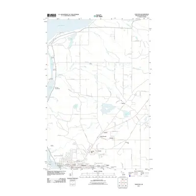
2011 Map of Hancock
USGS Topo · Published 2011About this map
Hancock sits at the heart of Michigan’s Copper Country, its streets rising from the shores of Portage Lake toward the historic mining complexes on the hill. The industrial heritage of the Keweenaw Peninsula is evident in the presence of the Franklin Mine and the specialized infrastructure at Atlantic Point and the Union Coal Dock. Education and community life center on Finlandia University and the Hancock County Fairgrounds, while the surrounding landscape is marked by numerous small settlements like Pewabic and Arcadian.
Find a feature on this map
77 named features on this map. Tap any name to fly to it.
Don’t see what you’re looking for? This feature index may not catch every label — zoom into the map to look around manually.
Map Details
Editions of this 2011 Hancock Map
This is the sole edition of this map. No revisions or reprints were ever made.
Other maps of this area

1915 · Houghton
USGS Topo · 1:62,500

1941 · Ahmeek
USGS Topo · 1:31,680

1946 · Hancock
USGS Topo · 1:24,000

1946 · Chassell
USGS Topo · 1:24,000

1946 · South Range
USGS Topo · 1:24,000

1946 · Muggun Creek
USGS Topo · 1:24,000

1946 · Ahmeek
USGS Topo · 1:24,000

1946 · Laurium
USGS Topo · 1:24,000

1947 · Ahmeek
USGS Topo · 1:24,000

1948 · South Range
USGS Topo · 1:24,000