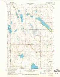
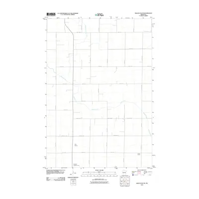
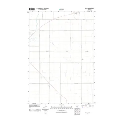
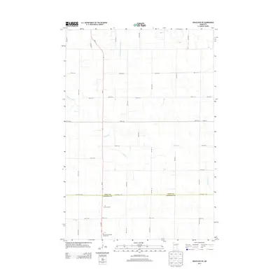
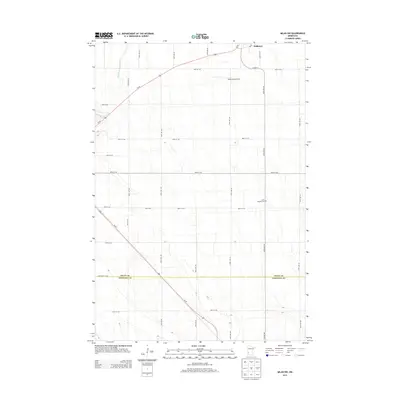
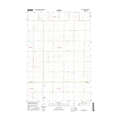
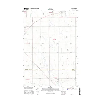
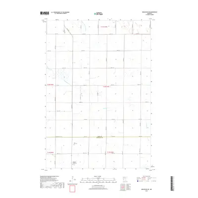
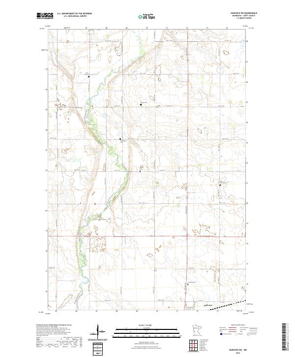
1968 Map of Hancock SW
USGS Topo · Published 1970About this map
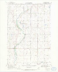
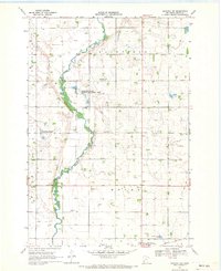
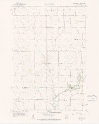
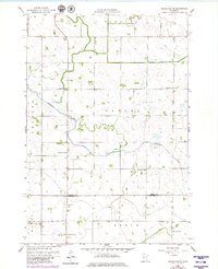
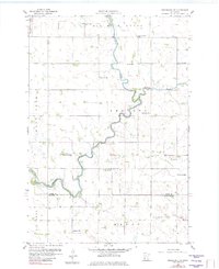
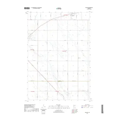
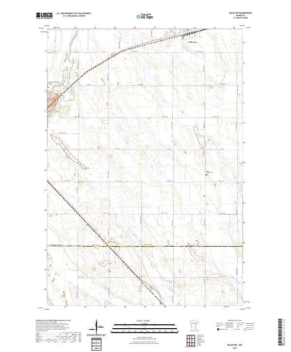
The Pomme De Terre River winds through this 1968 landscape, marking the transition between the agricultural uplands of Swift County and the conserved wetlands of the Ehrenberg State Wildlife Management Area. In the south, the village of Holloway serves as a local hub along the Great Northern rail line, accompanied by industrial infrastructure like Sewage Disposal Ponds. The map is particularly rich for genealogical research, documenting numerous rural burial grounds and places of worship that anchored the early farming community, including Trinity Ch Cem, Evangelical Cem, and St Johns Ch. Small-scale resource extraction is evident in the scattered Gravel Pit locations, while the settlement of Graves and the National Wildlife Management Area further define the land use patterns of the late 1960s.
Find a feature on this map
25 named features on this map. Tap any name to fly to it.
Don’t see what you’re looking for? This feature index may not catch every label — zoom into the map to look around manually.
Map Details
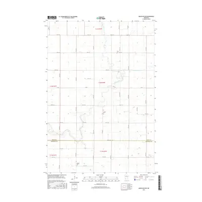
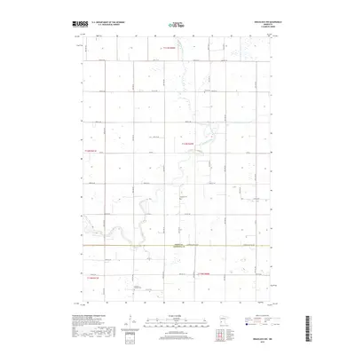
Editions of this 1968 Hancock SW Map
2 editions found
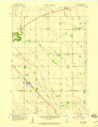
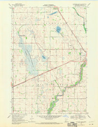
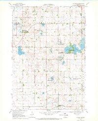
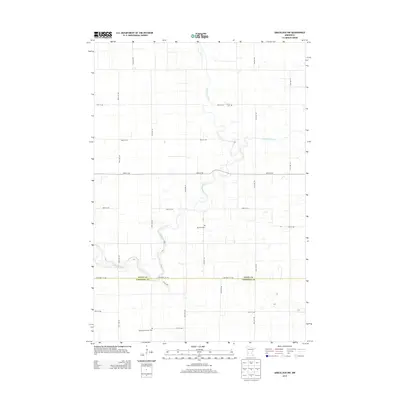
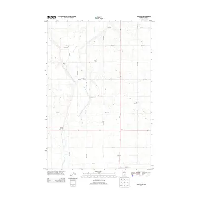
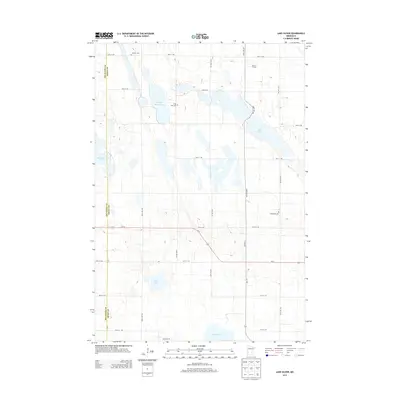
Historical Maps of Holloway Through Time
48 maps found
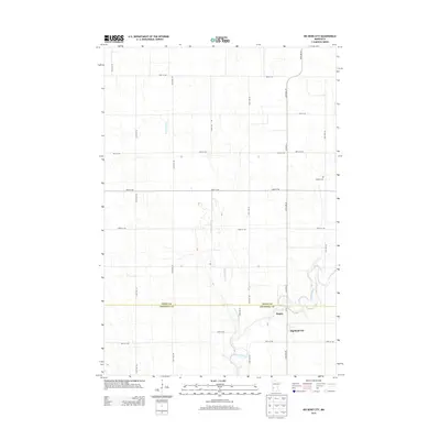
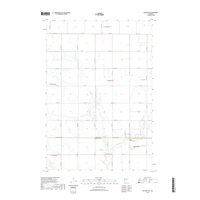
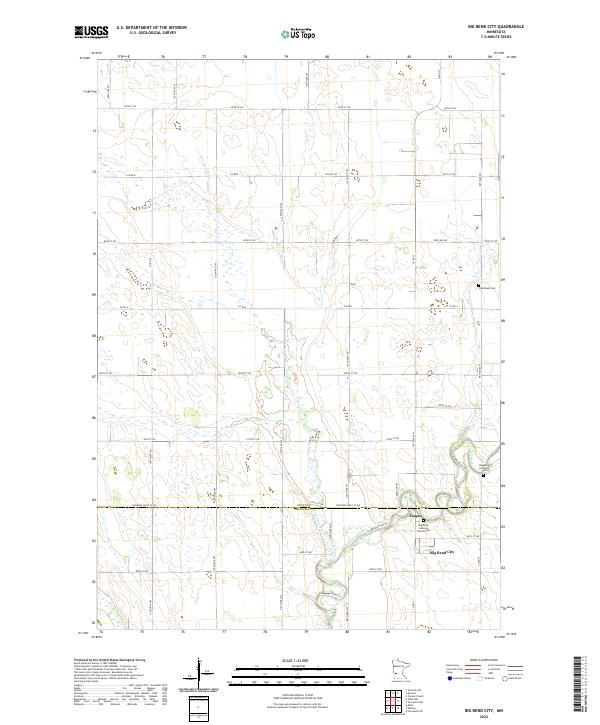
1958 Big Bend City
Swift County, MN
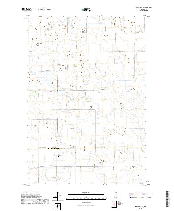
1958 Gracelock NE
Swift County, MN
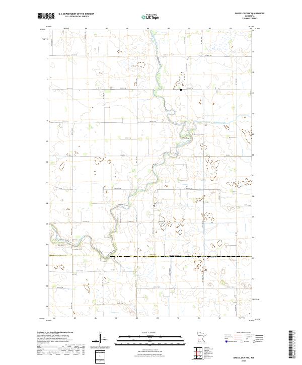
1958 Gracelock NW
Swift County, MN
1958 Milan NW
Swift County, MN
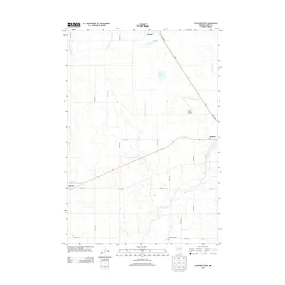
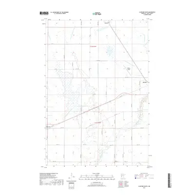
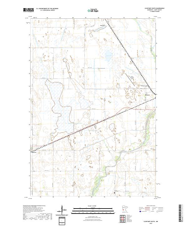
1968 Clontarf South
Swift County, MN
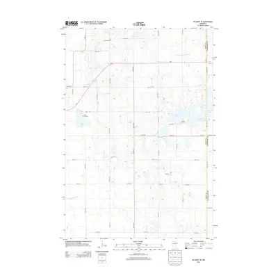
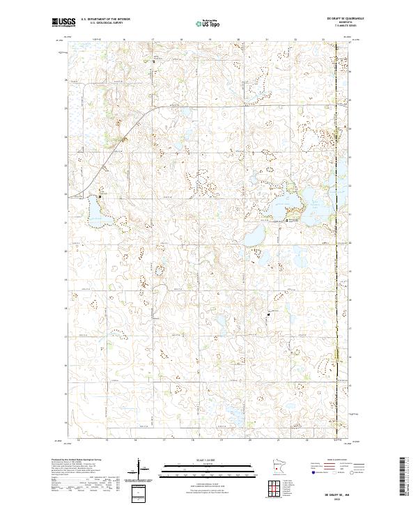
1968 De Graff SE
Swift County, MN
1968 Hancock SW
Swift County, MN
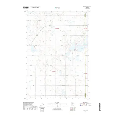
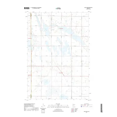
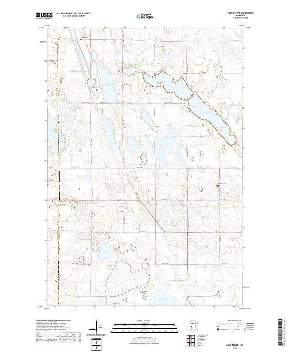
1968 Lake Oliver
Swift County, MN
2010 Big Bend City
Swift County, MN
2010 Clontarf South
Swift County, MN
2010 De Graff SE
Swift County, MN
2010 Gracelock NE
Swift County, MN
2010 Gracelock NW
Swift County, MN
2010 Hancock SW
Swift County, MN
2010 Lake Oliver
Swift County, MN
2010 Milan NW
Swift County, MN
2013 Big Bend City
Swift County, MN
2013 Clontarf South
Swift County, MN
2013 De Graff SE
Swift County, MN
2013 Gracelock NE
Swift County, MN
2013 Gracelock NW
Swift County, MN
2013 Hancock SW
Swift County, MN
2013 Lake Oliver
Swift County, MN
2013 Milan NW
Swift County, MN
2016 Big Bend City
Swift County, MN
2016 Clontarf South
Swift County, MN
2016 De Graff SE
Swift County, MN
2016 Gracelock NE
Swift County, MN
2016 Gracelock NW
Swift County, MN
2016 Hancock SW
Swift County, MN
2016 Lake Oliver
Swift County, MN
2016 Milan NW
Swift County, MN
2019 Big Bend City
Swift County, MN
2019 Clontarf South
Swift County, MN
2019 De Graff SE
Swift County, MN
2019 Gracelock NE
Swift County, MN
2019 Gracelock NW
Swift County, MN
2019 Hancock SW
Swift County, MN
2019 Lake Oliver
Swift County, MN
2019 Milan NW
Swift County, MN
2022 Big Bend City
Swift County, MN
2022 Clontarf South
Swift County, MN
2022 De Graff SE
Swift County, MN
2022 Gracelock NE
Swift County, MN
2022 Gracelock NW
Swift County, MN
2022 Hancock SW
Swift County, MN
2022 Lake Oliver
Swift County, MN
2022 Milan NW
Swift County, MN