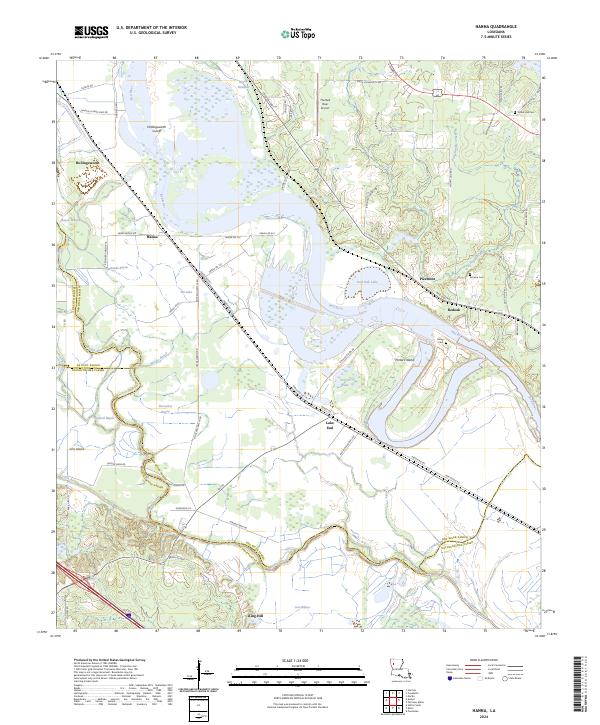
2024 Map of Hanna
USGS Topo · Published 2024About this map
The Red River defines the landscape of this Louisiana quadrangle, winding through a complex system of bayous and oxbow lakes where De Soto, Red River, and Natchitoches parishes meet. Small communities such as Hanna, Redoak, and Lake End are situated along the transport corridors that parallel the water, reflecting the area's agricultural and river-dependent history. Significant features like the Hollingsworth Cutoff and Porters Island illustrate the river's shifting nature and the engineering efforts used to manage its course.
Find a feature on this map
78 named features on this map. Tap any name to fly to it.
Don’t see what you’re looking for? This feature index may not catch every label — zoom into the map to look around manually.
Map Details
Editions of this 2024 Hanna Map
This is the sole edition of this map. No revisions or reprints were ever made.
Other maps of this area

1937 · Campti NW
USGS Topo · 1:31,680

1937 · Campti SW
USGS Topo · 1:31,680

1938 · Chemard Lake
USGS Topo · 1:31,680

1938 · Hollis Creek
USGS Topo · 1:31,680

1938 · Allen
USGS Topo · 1:31,680

1938 · Lake End
USGS Topo · 1:31,680

1944 · Campti
USGS Topo · 1:62,500

1947 · Ashland
USGS Topo · 1:62,500

1947 · Hanna
USGS Topo · 1:62,500

1948 · Coushatta
USGS Topo · 1:62,500