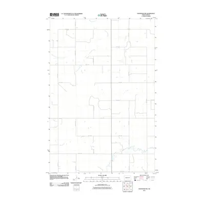
2011 Map of Hannover NW
USGS Topo · Published 2011About this map
Kinneman Creek meanders across the northern portion of this Mercer County landscape, defining the local drainage long before modern development reached these rural stretches. The area is characterized by a strict section-line road grid, including routes like 12th St SW and 46th Ave SW, which trace the legacy of homesteading and early land divisions. In the southern reach, the waters of Square Butte Creek and Brady Creek break the geometric regularity of the prairie. This 2011 survey by the U.S. Geological Survey documents a largely agricultural region where the intersection of County Rd 17 and sectional roads like 16th St SW serves as the primary infrastructure for local landholders and family farms.
Find a feature on this map
18 named features on this map. Tap any name to fly to it.
Don’t see what you’re looking for? This feature index may not catch every label — zoom into the map to look around manually.
Map Details
Editions of this 2011 Hannover NW Map
This is the sole edition of this map. No revisions or reprints were ever made.
Other maps of this area

1948 · Stanton
USGS Topo · 1:62,500

1949 · Stanton
USGS Topo · 1:62,500

1954 · McClusky
USGS Topo · 1:250,000

1958 · McClusky
USGS Topo · 1:250,000

1967 · Stanton SE
USGS Topo · 1:24,000

1968 · Hannover NE
USGS Topo · 1:24,000

1968 · Red Butte
USGS Topo · 1:24,000

1968 · Stanton
USGS Topo · 1:24,000

1968 · Hannover NW
USGS Topo · 1:24,000

1968 · Hazen East
USGS Topo · 1:24,000