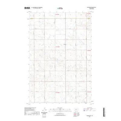
2020 Map of Hannover NW
USGS Topo · Published 2020About this map
The rolling plains of the Missouri Plateau are etched by the waters of Kinneman Cr, Brady Cr, and Square Butte Cr in this recent survey of rural North Dakota. This section of the state straddles the border between Mercer Co and Oliver Co, where a grid of section-line roads such as 12th St SW and 17th St SW provide access to isolated farmsteads and agricultural tracts. A primary landmark of local historical importance is the Pleasant Valley Methodist Cem, situated north of 15th St SW. The landscape is largely defined by the Public Land Survey System, with township and range lines clearly demarcating the rural sections that have remained the backbone of the region's ranching and farming economy for over a century.
Find a feature on this map
21 named features on this map. Tap any name to fly to it.
Don’t see what you’re looking for? This feature index may not catch every label — zoom into the map to look around manually.
Map Details
Editions of this 2020 Hannover NW Map
This is the sole edition of this map. No revisions or reprints were ever made.
Other maps of this area

1948 · Stanton
USGS Topo · 1:62,500

1949 · Stanton
USGS Topo · 1:62,500

1954 · McClusky
USGS Topo · 1:250,000

1958 · McClusky
USGS Topo · 1:250,000

1967 · Stanton SE
USGS Topo · 1:24,000

1968 · Hannover NE
USGS Topo · 1:24,000

1968 · Red Butte
USGS Topo · 1:24,000

1968 · Stanton
USGS Topo · 1:24,000

1968 · Hannover NW
USGS Topo · 1:24,000

1968 · Hazen East
USGS Topo · 1:24,000