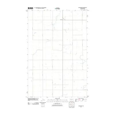
2011 Map of Hannover
USGS Topo · Published 2011About this map
Hannover stands as a primary settlement in this section of Oliver County, situated at a junction near the northern edge of the survey. The landscape is defined by the winding paths of Square Butte Creek and Hagel Creek, which provide the primary drainage for the surrounding prairie. This area exhibits a strictly organized grid of rural roads, including 47th Ave SW and 25th St SW, which partition the territory into large agricultural blocks typical of North Dakota's section-line development. The small community of Hannover and the scattered water bodies throughout the drainage basins suggest a quiet, stable ranching and farming economy in the early 21st century.
Find a feature on this map
15 named features on this map. Tap any name to fly to it.
Don’t see what you’re looking for? This feature index may not catch every label — zoom into the map to look around manually.
Map Details
Editions of this 2011 Hannover Map
This is the sole edition of this map. No revisions or reprints were ever made.
Other maps of this area

1954 · Bismarck
USGS Topo · 1:250,000

1954 · McClusky
USGS Topo · 1:250,000

1958 · Bismarck
USGS Topo · 1:250,000

1958 · McClusky
USGS Topo · 1:250,000

1968 · Hannover NE
USGS Topo · 1:24,000

1968 · Red Butte
USGS Topo · 1:24,000

1968 · Hannover NW
USGS Topo · 1:24,000

1970 · Bluegrass
USGS Topo · 1:24,000

1970 · New Salem NW
USGS Topo · 1:24,000

1970 · New Salem NE
USGS Topo · 1:24,000