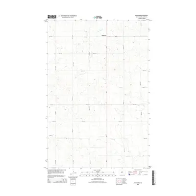
2014 Map of Hannover
USGS Topo · Published 2014About this map
Hannover serves as the central hub of this North Dakota prairie landscape, situated at the intersection of ND-31 and ND-25. The terrain is defined by the winding paths of Square Butte Cr and Hagel Cr, which carve subtle drainage patterns across the high plains of Oliver County. The local road network follows a strict sectional grid, with routes like 21st St SW and 46th Ave SW providing access to the vast agricultural holdings that characterize this region. This survey captures the rural layout of the northern plains in the early twenty-first century, showing the enduring structure of township and range lines that have governed land use in the area since the era of original settlement.
Find a feature on this map
18 named features on this map. Tap any name to fly to it.
Don’t see what you’re looking for? This feature index may not catch every label — zoom into the map to look around manually.
Map Details
Editions of this 2014 Hannover Map
This is the sole edition of this map. No revisions or reprints were ever made.
Other maps of this area

1954 · Bismarck
USGS Topo · 1:250,000

1954 · McClusky
USGS Topo · 1:250,000

1958 · Bismarck
USGS Topo · 1:250,000

1958 · McClusky
USGS Topo · 1:250,000

1968 · Hannover NE
USGS Topo · 1:24,000

1968 · Red Butte
USGS Topo · 1:24,000

1968 · Hannover NW
USGS Topo · 1:24,000

1970 · Bluegrass
USGS Topo · 1:24,000

1970 · New Salem NW
USGS Topo · 1:24,000

1970 · New Salem NE
USGS Topo · 1:24,000