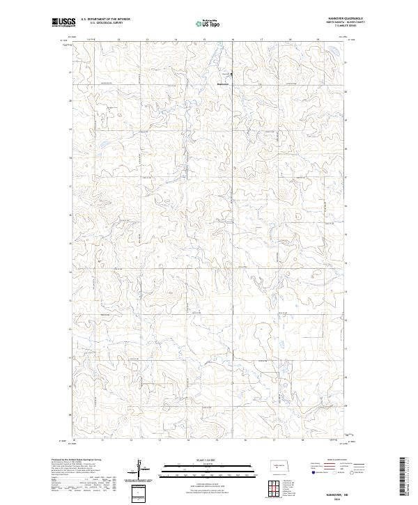
2024 Map of Hannover
USGS Topo · Published 2024About this map
Hannover serves as the central focal point of this Oliver County survey, illustrating the persistence of rural communities in North Dakota. The landscape is defined by the winding course of Square Butte Creek, which cuts through the high plains terrain, joined to the east by Hagel Creek. Local history is anchored at the Hannover Cem, situated just north of the primary settlement. The map reveals a strictly organized section-line road network, where routes like Hannover Rd and 21st St SW provide the infrastructure for this agricultural region. This recent data from the U.S. Geological Survey documents the enduring platting of the area, including the boundaries of t142n r85w and surrounding townships, providing a clear record of current land use and drainage patterns in the heart of the state.
Find a feature on this map
23 named features on this map. Tap any name to fly to it.
Don’t see what you’re looking for? This feature index may not catch every label — zoom into the map to look around manually.
Map Details
Editions of this 2024 Hannover Map
This is the sole edition of this map. No revisions or reprints were ever made.
Other maps of this area

1954 · Bismarck
USGS Topo · 1:250,000

1954 · McClusky
USGS Topo · 1:250,000

1958 · Bismarck
USGS Topo · 1:250,000

1958 · McClusky
USGS Topo · 1:250,000

1968 · Hannover NE
USGS Topo · 1:24,000

1968 · Red Butte
USGS Topo · 1:24,000

1968 · Hannover NW
USGS Topo · 1:24,000

1970 · Bluegrass
USGS Topo · 1:24,000

1970 · New Salem NW
USGS Topo · 1:24,000

1970 · New Salem NE
USGS Topo · 1:24,000