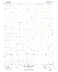
1954 Map of Hanover
USGS Topo · Published 1978About this map
The borderlands of the Colorado plains south of Colorado Springs appear here as a land of managed water and family ranching. The rural community of Hanover serves as a central hub, anchored by the Hanover Ch, Hanover Sch, and Hanover Cem. The landscape is defined by the ephemeral winding of Chico Creek and several Windmill sites, indicating the critical nature of groundwater for livestock and irrigation.
Find a feature on this map
19 named features on this map. Tap any name to fly to it.
Don’t see what you’re looking for? This feature index may not catch every label — zoom into the map to look around manually.
Map Details
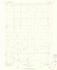
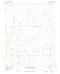
Editions of this 1954 Hanover Map
3 editions found
Other maps of this area

1891 · Pueblo
USGS Topo · 1:125,000

1891 · Nepesta
USGS Topo · 1:125,000

1893 · Nepesta
USGS Topo · 1:125,000

1893 · Big Springs
USGS Topo · 1:125,000

1893 · Colorado Springs
USGS Topo · 1:125,000

1894 · Pueblo
USGS Topo · 1:125,000

1896 · Pueblo
USGS Topo · 1:125,000

1897 · Pueblo
USGS Topo · 1:125,000

1904 · Nepesta
USGS Topo · 1:125,000

1909 · Colorado Springs
USGS Topo · 1:125,000