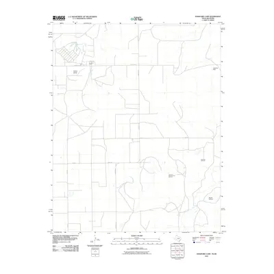
2010 Map of Hansford Camp
USGS Topo · Published 2010About this map
Hansford Camp and the surrounding high plains of Texas County are defined by a landscape of energy extraction and agricultural transit in this 2010 survey. The region is marked by significant subterranean activity, including the Hitchland Gas and Oil Field in the northwest and the Spearman North Gas and Oil Field to the southeast. These energy resources are situated on a plateau broken by the drainage of Hackberry Creek and the winding course of Palo Duro Creek at the southern margin.
Find a feature on this map
13 named features on this map. Tap any name to fly to it.
Don’t see what you’re looking for? This feature index may not catch every label — zoom into the map to look around manually.
Map Details
Editions of this 2010 Hansford Camp Map
This is the sole edition of this map. No revisions or reprints were ever made.
Other maps of this area

1954 · Perryton
USGS Topo · 1:250,000

1958 · Perryton
USGS Topo · 1:250,000

1962 · Kimball
USGS Topo · 1:24,000

1962 · Hansford Camp
USGS Topo · 1:24,000

1962 · Waka SW
USGS Topo · 1:24,000

1968 · Hardesty
USGS Topo · 1:24,000

1968 · Hardesty SE
USGS Topo · 1:24,000

1968 · Guymon SE
USGS Topo · 1:24,000

1973 · Horseshoe Hill
USGS Topo · 1:24,000

1973 · Waka
USGS Topo · 1:24,000